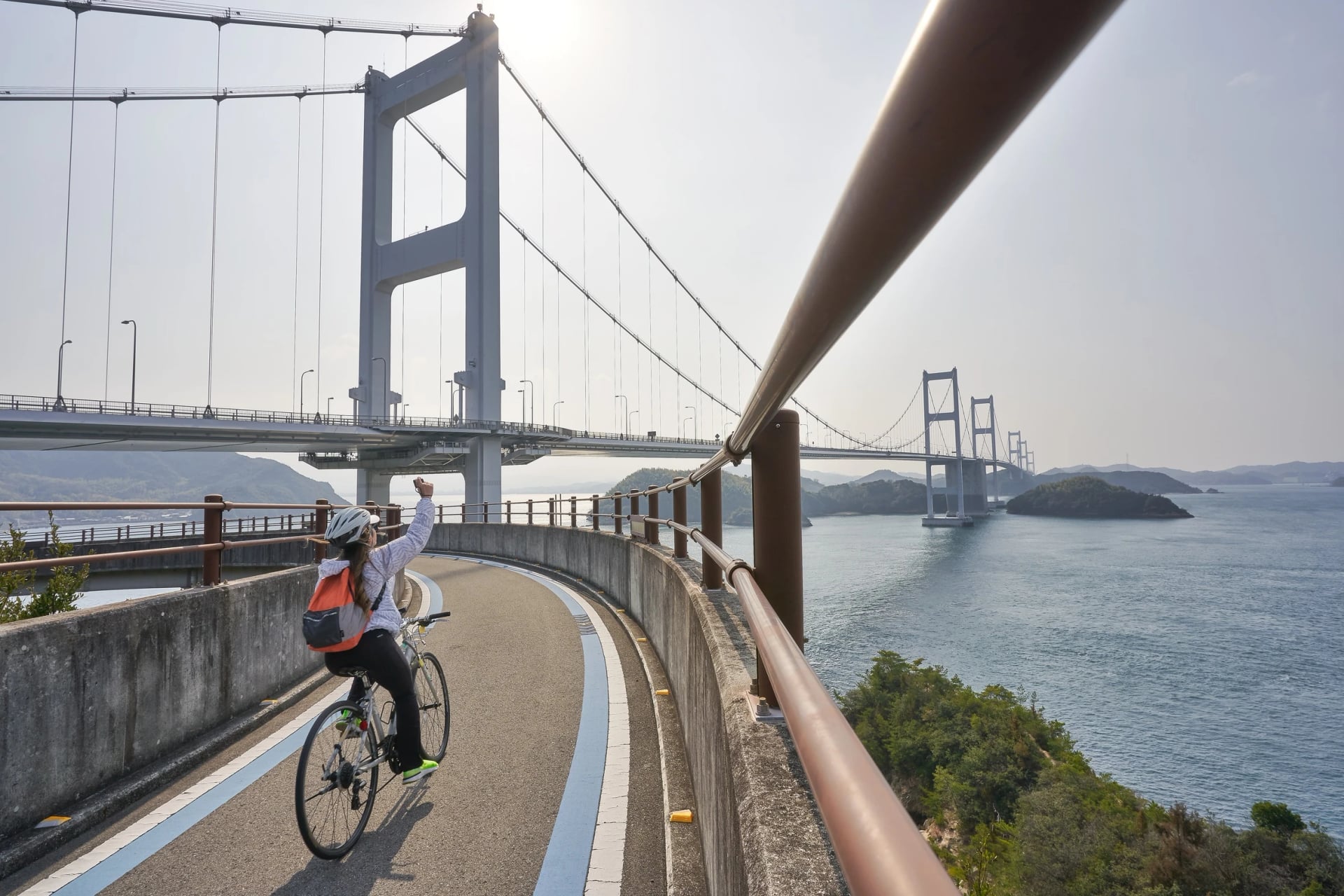
Shimanami Kaido Cycling: 70 km, Six Bridges, One Blue Line
The Shimanami Kaido follows a painted blue line 70 km from Honshu to Shikoku over six bridges, in one long day or two or three nights on the islands.
Quick links
Don't want to read all this?
We've planned 800+ cycling trips. Send your dates, fitness and group size — we'll map the route and book every night.


What is the Shimanami Kaido?
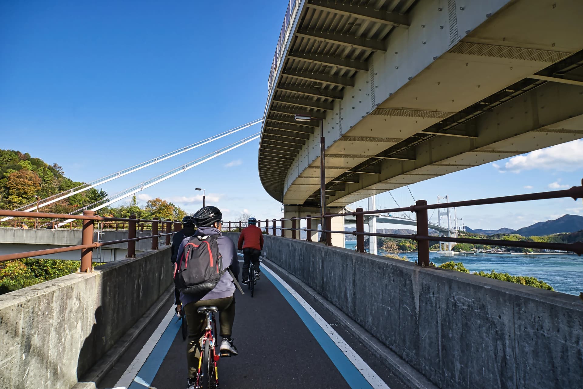
The Shimanami Kaido is a cycle route across the Seto Inland Sea, about 70 km (44 miles) from Onomichi on Honshu to Imabari on Shikoku. It follows an expressway that hops six islands on a chain of bridges, and on every bridge the bikes get a path of their own, apart from the motorway traffic.
Riders come for those bridges and the views from them. Shimanami Japan, the islands' tourism body, calls it Japan's first bike road across a sea strait. Three bridge routes link Honshu and Shikoku, and this is the only one with a path for bikes.
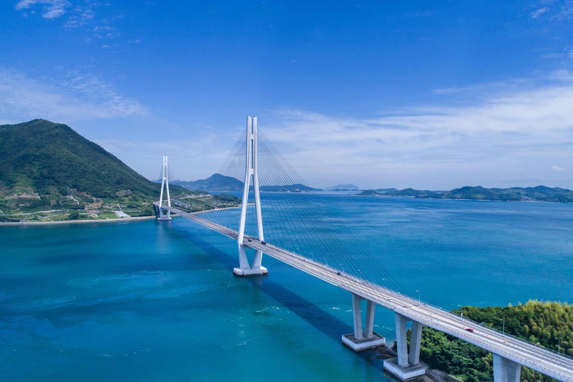
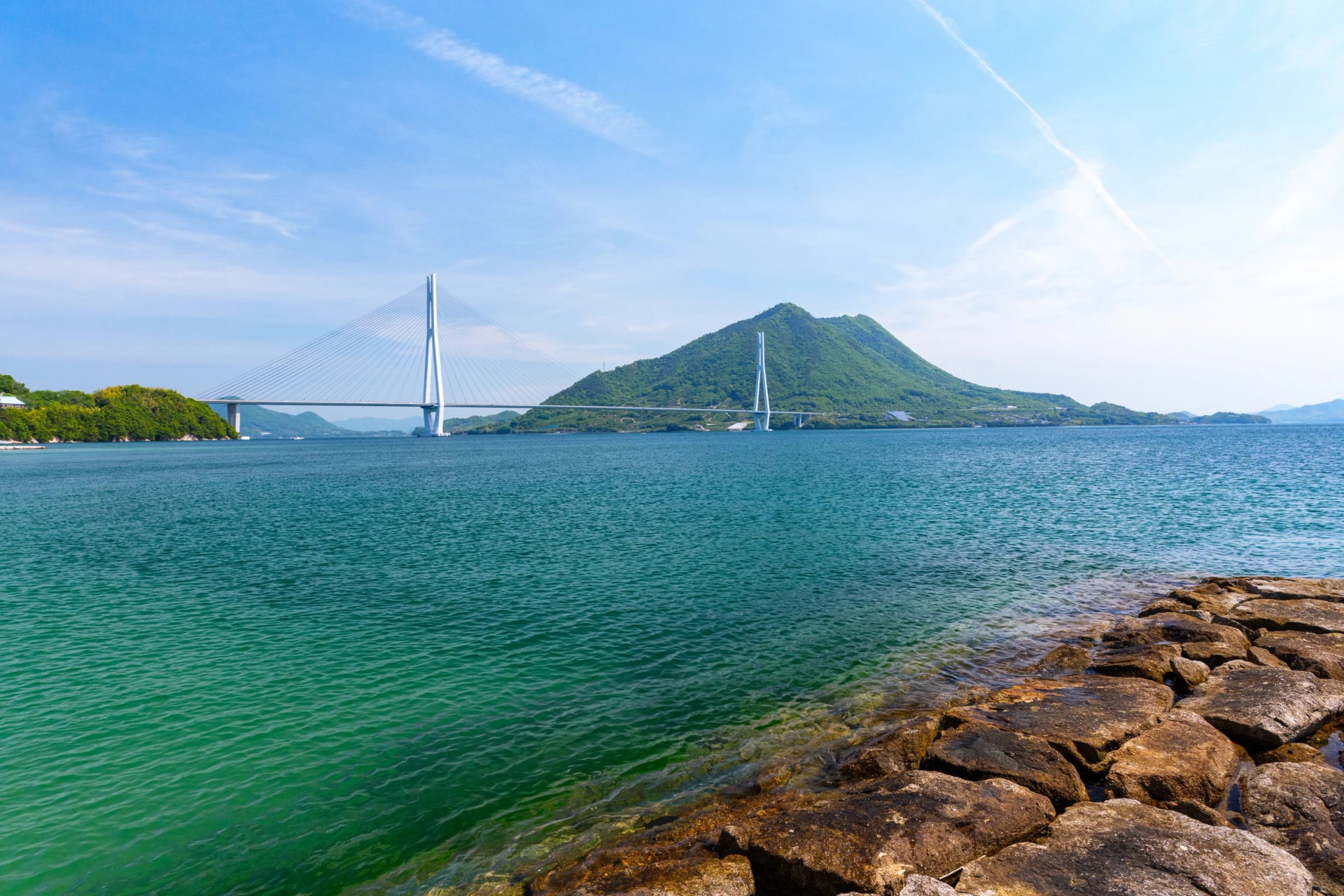
Two of its bridges set world records: the Tatara Bridge was the longest cable-stayed bridge from 1999 to 2008, and the Kurushima-Kaikyō Bridge was the first chain of three suspension bridges. In 2019 the road ministry made it one of Japan's first three National Cycle Routes.
This guide takes the route bridge by bridge and island by island, then the stops, the ways to split the days, the season and the bikes, bags and boats to line up.
Shimanami Kaido in a few facts
Start and finish: JR Onomichi Station, then JR Imabari Station on Shikoku.
Climbing: about 420 m in total, mostly on the ramps up to the bridges.
The islands: Mukaishima, Innoshima, Ikuchijima, Ōmishima, Hakatajima and Ōshima, in that order from Onomichi.
Way-marking: a blue line painted on the road, with the distance to both ends written on it, an idea Shimanami Japan says started here.
Bike toll: none on any bridge until 31 March 2028; mopeds still pay.
Rest stops: more than 150 cycle oases with water, a toilet, a bike stand and a pump.
How long is the Shimanami Kaido?
Distance and time decide whether the ride fits into one day, and the published numbers do not all agree, so here is what each one measures.
The 70 km is the official figure, used by Japan's tourism board, the road ministry and Shimanami Japan. The expressway itself is about 60 km, and the bridge operator counts about 80 km once the bridge paths and the island cycle roads are added together. Our own GPX, drawn station to station along the blue line, measures 74 km.
Riding time depends on the rider more than the road. Shimanami Japan's estimates, before any stops:
Fast riders: four to five hours
Confident riders: five to six hours
Beginners riding slowly: about ten hours
Add the shrine, a temple and lunch, and most people take a full day, or split the ride over two; the day plans further down compare the options.
Route map and GPX
Most of the stops worth a detour sit off the blue line, so it helps to see them on a map before you ride. See the whole route on our map, with the six bridges, the rental terminals, the ferries and the overnight towns marked. Then load the GPX on your phone or bike computer before you set off, so the route works offline on the islands.
Our GPX follows the blue line from the door of Onomichi Station, takes the ferry to Mukaishima and ends at Imabari Station. Download the GPX file.
Need the km at every bridge and bike terminal, the terminals' opening hours or a map of each stage? Open our Shimanami Kaido map.
Bridge by bridge
Six bridges carry the route, and they shape most of the ride. They hold the only real climbs, the windiest stretches and the paths you share with mopeds or people on foot, so it pays to know which is which before you set off.
Japan's tourism board counts seven bridges, but you ride six. The first, the Shin-Onomichi Bridge, has no path for bikes or people on foot, so the route opens with a short ferry across the Onomichi Channel instead. Two of them are really several bridges under one name: Hakata-Ōshima is two spans joined over a small island, and Kurushima-Kaikyō is three suspension bridges in a row.
Bridge | Length and type | What to expect |
Innoshima Bridge | 1,270 m, suspension (1983) | Shared with mopeds; the path runs inside the deck, under the motorway, 58 m above the sea |
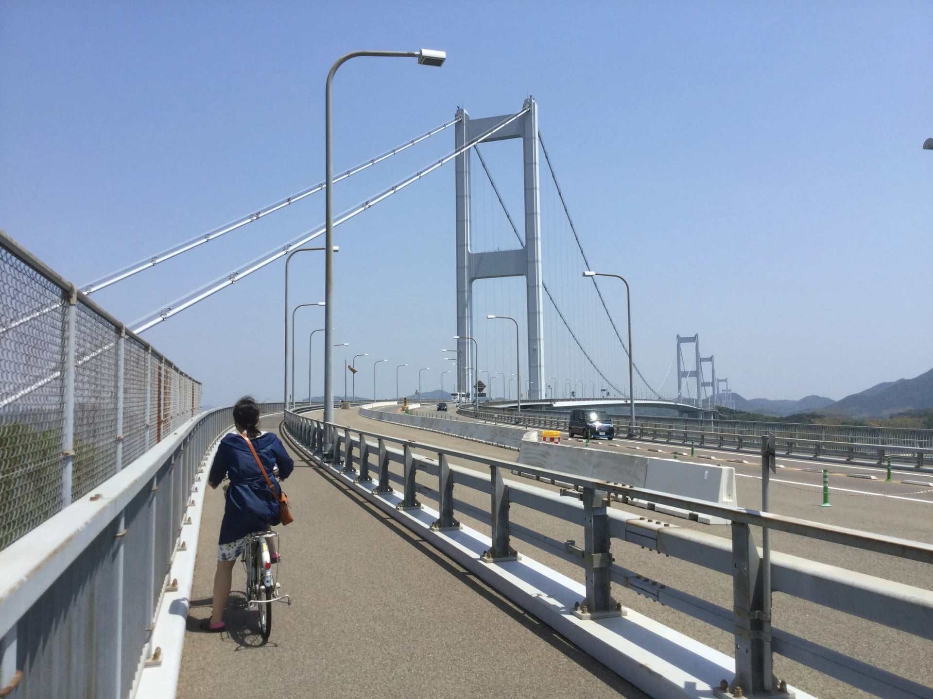
Ikuchi Bridge | 790 m, cable-stayed (1991) | Shared with people on foot |
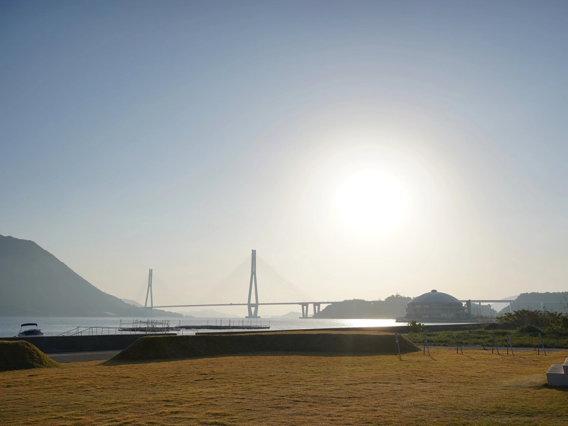
Tatara Bridge | 1,480 m, cable-stayed (1999) | Shared with people on foot; the border between Hiroshima and Ehime is on the deck |
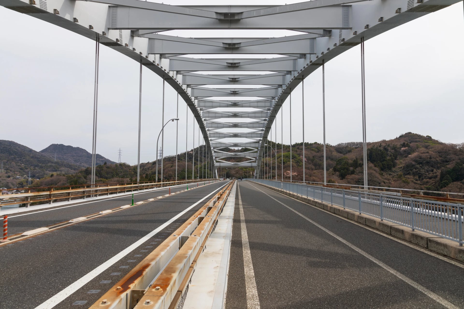
Ōmishima Bridge | 328 m, arch (1979) | Shared with mopeds; the only arch on any of the links between Honshu and Shikoku |
Hakata-Ōshima Bridge | 325 m and 840 m (1988) | Shared with mopeds; the two spans meet over Michika, an islet you can reach only on foot or by bike |
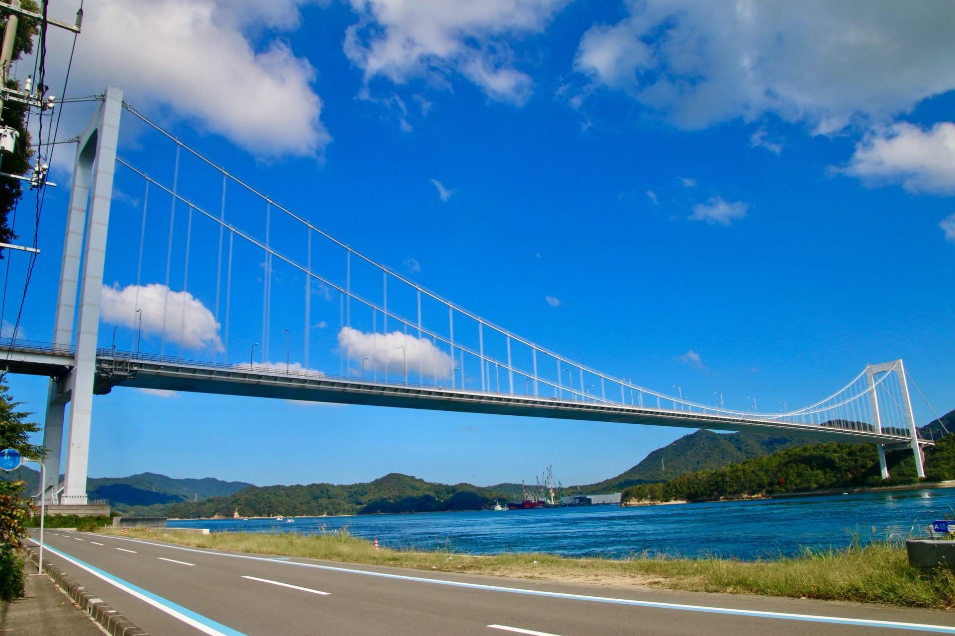
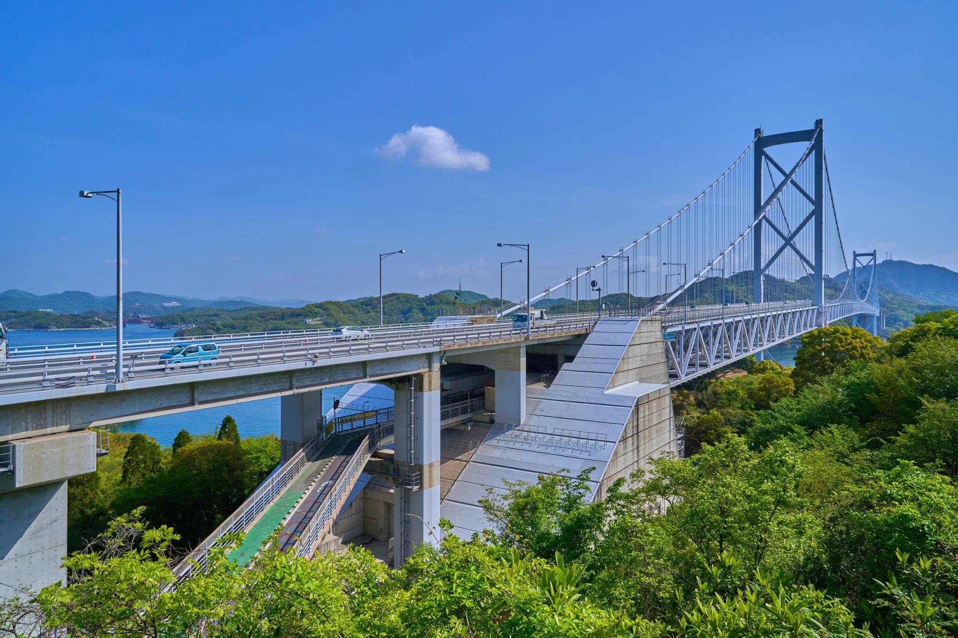
Kurushima-Kaikyō Bridge | About 4 km, three suspension spans (1999) | Shared with people on foot; a lift runs down to Umashima island |
How hilly is it? Not very: the climbs are the bridge ramps. The road ministry measured them at about 3 %, each over half a kilometre to a kilometre and a half, and our GPX adds up to roughly 420 m of climbing over the whole route; the island notes below give each ramp. On the bridges, four habits keep the ride easy:
Single file where mopeds ride: the Innoshima, Ōmishima and Hakata-Ōshima paths take mopeds of up to 125 cc.
Walkers first: on the Ikuchi, Tatara and Kurushima-Kaikyō paths, people on foot have right of way.
Walk it in a crosswind: the bridge operator warns of strong wind on the decks.
Brake early on the way down: the descents off the bridges are steep, and Shimanami Japan asks riders to hold their speed.
Island by island
Each island is a short stretch between two bridges, so the easiest way to plan the ride is island by island: where the road climbs, the one stop worth making and where to eat or fill your bottles. The notes run from Onomichi to Imabari, the way most riders go. Every island has a rental terminal, so you can stop where you like and still hand the bike back.
Stretch | Blue line (Shimanami Japan) | Ride it for |
Mukaishima | About 9 km | A quiet start by the water |
Innoshima | About 9 km | Boatyards and the pirates' island |
Ikuchijima | About 13 km | Setoda, a beach and the lemon groves |
Ōmishima | About 5 km | The halfway rest; the shrine is a detour |
Hakatajima | About 3 km | The shortest stretch, and the flattest |
Ōshima | About 10 km | The biggest climb and the tide races |
Kurushima-Kaikyō to Imabari Station | About 12 km | The longest bridge, then the city |
Onomichi
The ride starts at the station and crosses the water first, before it reaches an island.
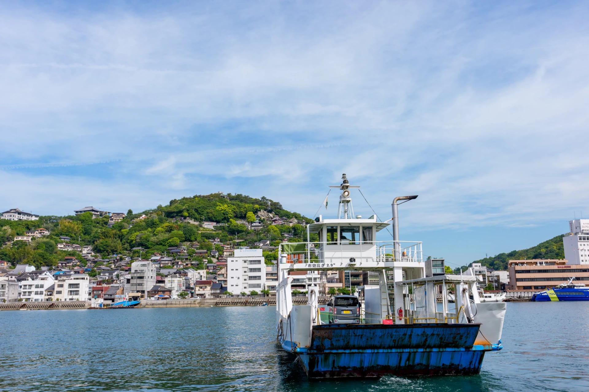
Ride: from the Onomichi Ekimae rental terminal, which moved next to the station in October 2025, it is a short roll to the pier, then a few minutes on one of two small ferries; pay in cash and wheel the bike on.
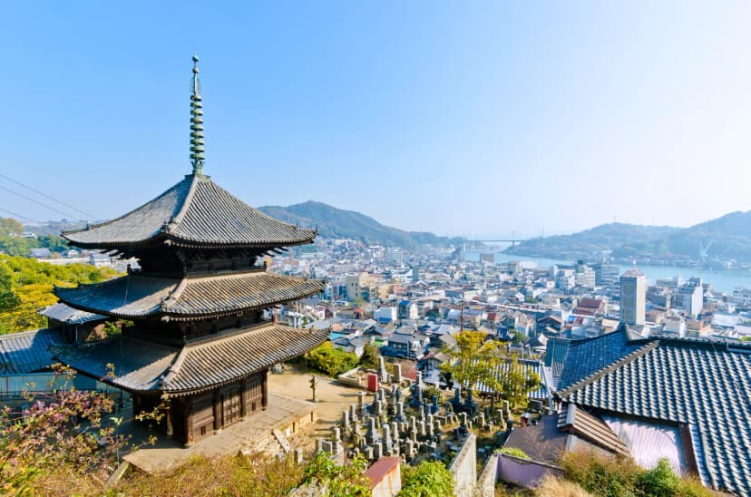
Stop: the temples on the hill behind the harbour, if you have a morning to spare before the ferry.
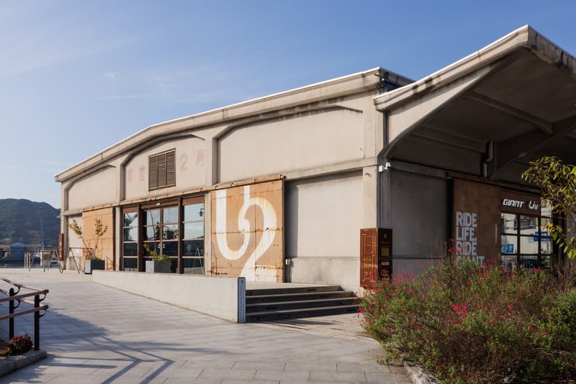
Eat and refill: ONOMICHI U2 on the waterfront has a bakery, a café, a restaurant and a Giant bike shop.
Next: Mukaishima, a few hundred metres across the channel.
Mukaishima
A gentle start: Mukaishima is flat on our track, and its shipyards face Onomichi across the channel.
Ride: about 9 km of blue line across the north of the island, then south along the Tachibana coast.
Stop: the lookout beneath the red bridge to Iwashijima, on the way south.
Eat and refill: cafés along the Tachibana coast, a favourite lunch stop, and roadside stalls selling local citrus.
Next: the longest approach climb of the route, 1.4 km at about 3 %, up to the Innoshima Bridge.
Innoshima
Innoshima was a base of the Murakami pirates, one of three family branches, and it grows hassaku, a tangy local citrus.
Ride: about 9 km of blue line between the two bridges; the 2.5 km road up Mount Shirataki is a steep side trip.
Stop: the Mount Shirataki lookout, high above the Innoshima Bridge.
Eat and refill: Hassaku-ya sells hassaku daifuku, rice cakes filled with the fruit, with a view of the bridge, and two cafés sit just south of the Ikuchi Bridge.
Next: a 1.15 km ramp at 3.3 % up to the Ikuchi Bridge.
Ikuchijima
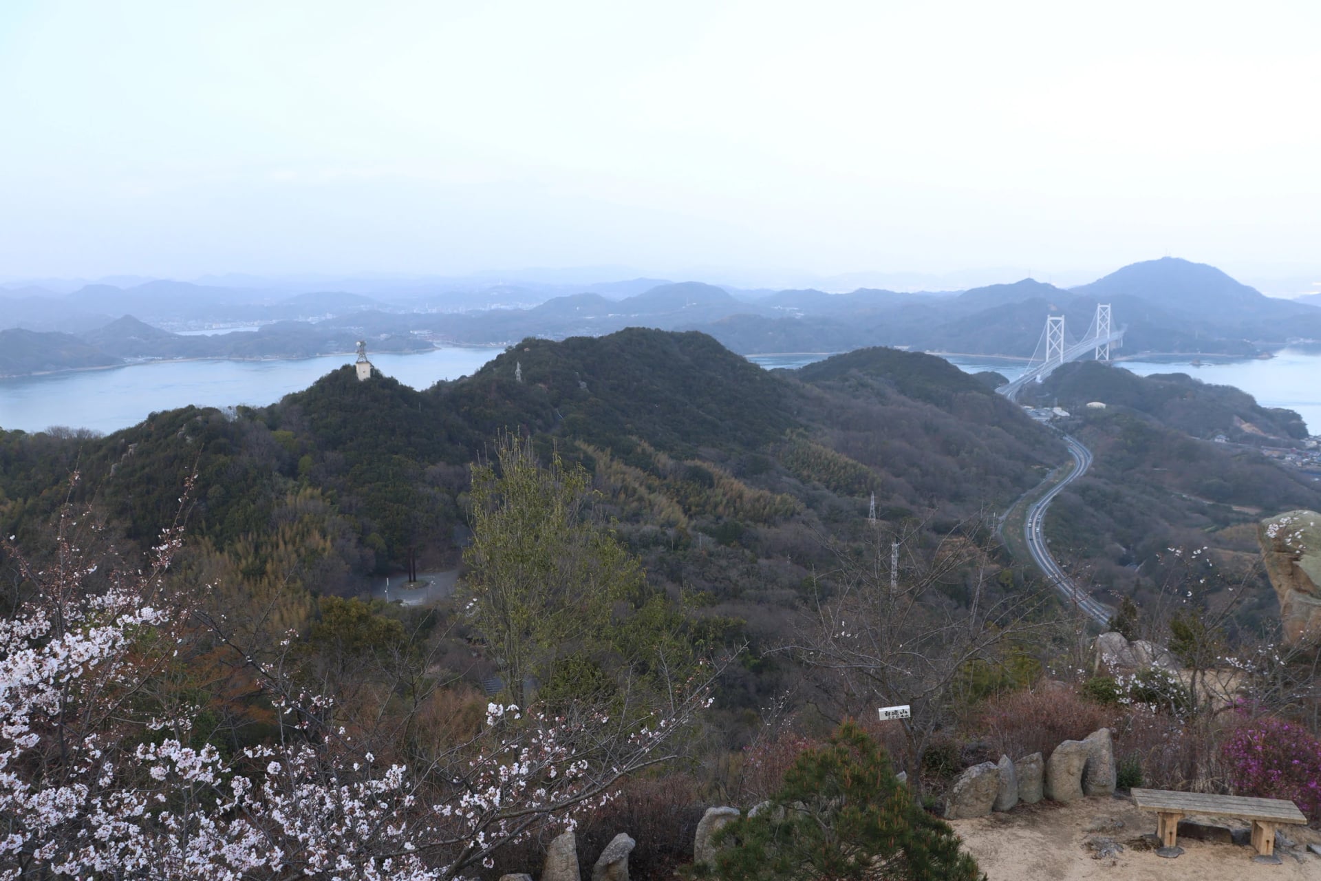
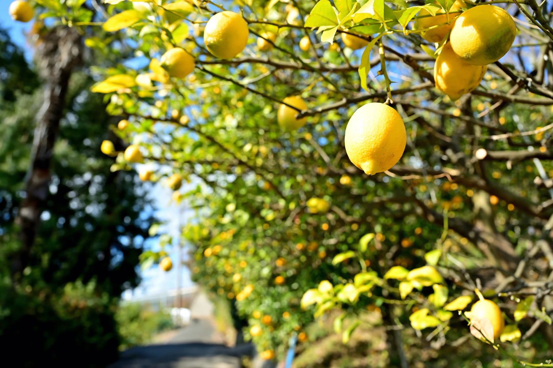
Ikuchijima has the most to stop for, and its port town, Setoda, is a popular place to break the journey. Hiroshima Prefecture grows almost half of Japan's lemons, 48 % by weight in 2023, and many of the island's grow in Lemon Valley.
Ride: the blue line swings north to Setoda, then runs south on a dedicated cycle lane past Setoda Sunset Beach and up through Lemon Valley, a stretch Shimanami Japan calls particularly family friendly.
Stop: Kōsan-ji, the temple in Setoda.
Eat and refill: cafés and restaurants on Setoda's old Shiomachi high street, and gelato at Setoda Dolce on the way south.
Next: the steepest ramp of the route, 1.3 km at 3.7 %, up to the Tatara Bridge.
Ōmishima
Ōmishima is the halfway island, and the best place on the route for a long lunch.
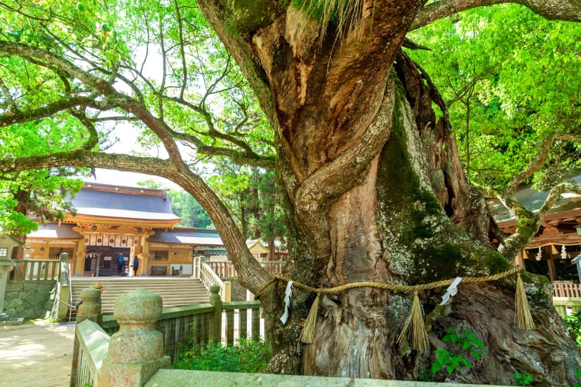
Ride: the blue line keeps to the east side for about 5 km. Ōyamazumi Shrine is in Miyaura on the far side, a detour of about 13 km on our track.
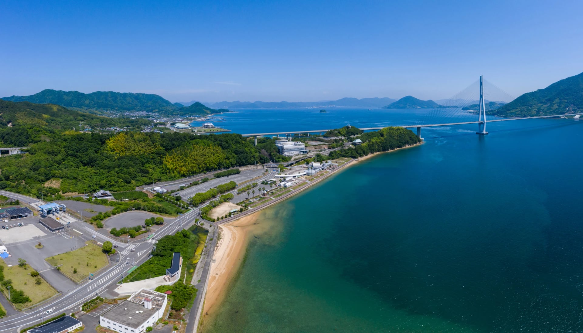
Stop: the Cyclists' Sanctuary stone in Tatara Shimanami Park, which marks the 2014 pact that twinned the route with the Sun Moon Lake ride in Taiwan, the first such agreement in Japan.
Eat and refill: Tatara Shimanami Park is the largest rest area on the route, with a restaurant, food stalls and a farmers' market; WAKKA nearby has a café and showers and laundry open to all.
Next: a 0.8 km ramp up to the Ōmishima Bridge.
Hakatajima
Hakatajima is the shortest island, and it gave its name to Hakata salt, a brand founded in 1973 by a campaign to save the island's salt pans.
Ride: about 3 km over a hill and past a shipyard to the beach, with one short pitch of 0.3 km at 5.3 %.
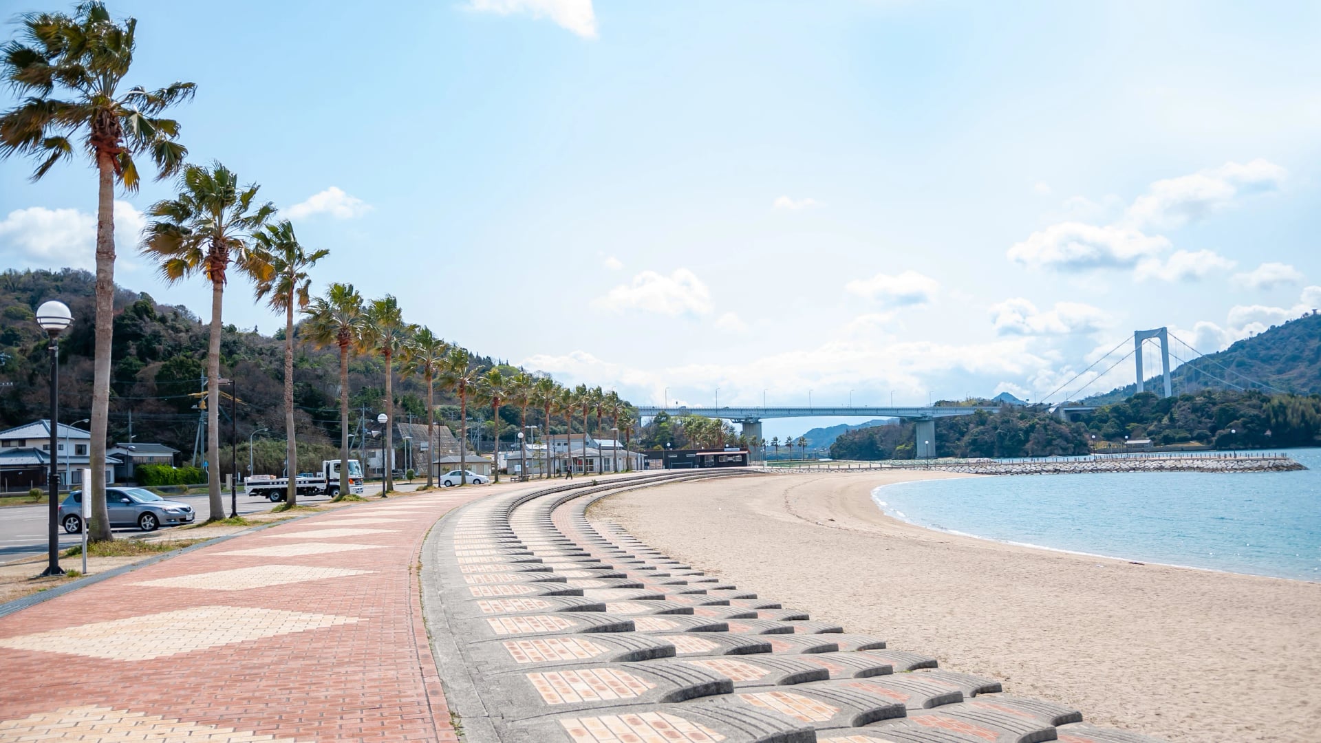
Stop: Hakata Beach, below the Hakata-Ōshima Bridge.
Eat and refill: the Marine Oasis Hakata rest stop by the beach serves salted vanilla soft-serve, and Patisserie T's Cafe Tamaya does lunches with a sea view.
Next: a 0.55 km ramp up to the Hakata-Ōshima Bridge.
Ōshima
Ōshima saves the hardest riding for last, and the best view of the strait.
Ride: 2 km of coast facing Noshima, then inland from Miyakubo over the longest climb on the blue line, two pitches of about 4.5 to 4.8 % for more than a kilometre each. Our track tops out here at about 77 m.
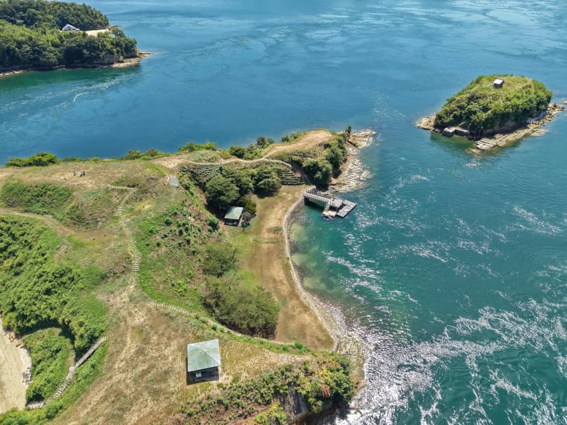
Stop: the Murakami Kaizoku Museum, a kilometre past Miyakubo port, where boats leave for the tide races round Noshima; the Kirōsan lookout, designed by Kengo Kuma in 1994, is a steep side road up to 307.8 m.
Eat and refill: Yoshiumi Iki Iki Kan, below the Kurushima-Kaikyō Bridge, has a rental terminal, toilets and a seafood barbecue restaurant. Riding north, stock up here before the climbs.
Next: a 0.6 km ramp up to the Kurushima-Kaikyō Bridge.
Imabari
The last bridge brings you down to Shikoku and a working shipbuilding town.
Ride: from Sunrise Itoyama, the official end of the route and a cycling terminal with rooms, it is about 7 km more on our track to Imabari Station.
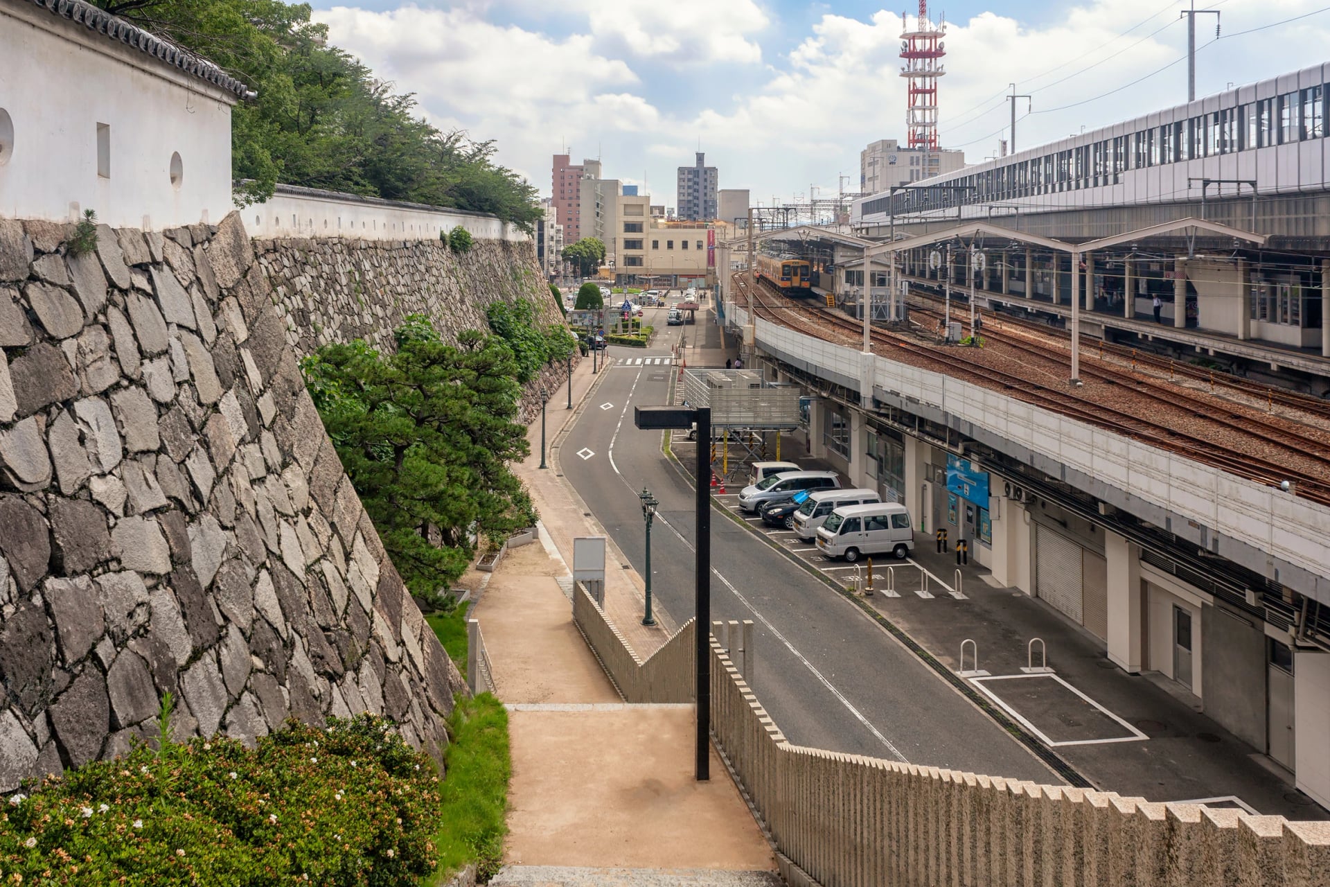
Stop: Imabari Castle, begun in 1602 by the warlord Tōdō Takatora, with moats still filled from the sea.
Eat and refill: the town's own dishes, according to Shimanami Japan: a rice bowl of grilled pork and fried eggs, and yakitori cooked flat on a hotplate.
Next: the train to Matsuyama, or the bus back across the islands.
Places to see on the Shimanami Kaido
Four stops are worth building the days around. Give Onomichi a morning before the first ferry, leave time for Kōsan-ji in Setoda, take the detour to Ōyamazumi Shrine on Ōmishima and see Noshima's tide races from Ōshima:
One, two or three days
The riding is the same whichever plan you pick; what changes is the time left for the beach, the temple and the shrine. Here are the four ways riders usually split it, with the km on our GPX.
One day, 74 km. No night on the islands. Best for fit riders who start early: hire bikes go out from 8:00 at Onomichi Station, but the island terminals close at 17:00 and only Imabari's two stay open until 19:00 (18:00 from December to February), so aim to reach Imabari by then and eat on Ōmishima, past halfway.
Two days, 27 and 47 km. A night in Setoda. Best for an evening in the port town, with a short first day after the train.
Two days, about 43 km each. A night in Miyaura, on Ōmishima. Best for even days, with the shrine detour built in.
Three days, 27, 16 and 44 km. Nights in Setoda and Miyaura. Best for Kōsan-ji, the beach and the shrine without watching the clock.
Want more islands than this? Our Shimanami & Tobishima Island Bike Tour rides the same route to Imabari, takes a boat west to the Tobishima Kaido, a second chain of island bridges, and finishes in Hiroshima. The rest of our routes are on the tours page.
To ride the Tobishima Kaido on its own, read our Tobishima Kaido guide: the boats, the trains and the stops off the painted line.
When to ride
The season decides how hot the bridges get and whether rain closes the path, so it is worth choosing the month first. Spring and autumn suit the ride best: Japan's tourism board says the road conditions are good from March to May and from August to November.
Months | Average high | What to expect |
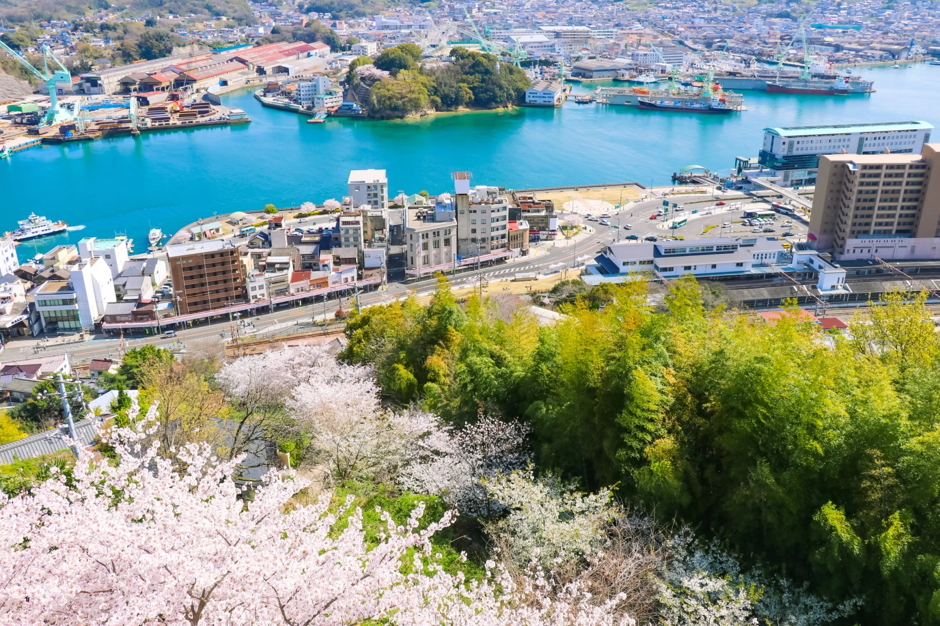
March to May | 14 to 24 °C | Mild; cherry blossom around early April |
June to mid-July | 27 to 31 °C | The rainy season, on average early June to mid-July |
Late July and August | 31 to 33 °C | Hot and humid; ride early in the day |
September to November | 29 to 18 °C | Drier and clearer; leaves turn from late November |
December to February | 10 to 13 °C | Cool and quiet; island terminals shut at 17:00 |
The temperatures are the Japan Meteorological Agency's 1991 to 2020 averages for Matsuyama, the nearest main weather station; the rainy-season dates are its normals for this region. Typhoons come closest in August and September.
Heavy rain does close the route. After a downpour in June 2026 the bike path from Mukaishima to Ōshima shut for a day, and earlier that month the rental terminals stopped hiring bikes for a typhoon. Install the Japan Tourism Agency's free Safety tips app for weather and disaster warnings in English.
Getting there by train and plane
The route starts and ends on different islands of Japan, so you arrive on one railway and leave on another.
Onomichi is 20 minutes by local train from Fukuyama, on the Sanyo Shinkansen line: about 65 minutes from Shin-Osaka, or 23 minutes from Hiroshima. Some bullet trains also stop at Shin-Onomichi, a taxi ride from the start. From Hiroshima Airport, a bus and a train take about an hour.
At the far end, the limited express from Imabari reaches Matsuyama in about 35 minutes, and Matsuyama Airport is about 80 minutes away by limousine bus. Check timetables with JR West for the Onomichi side. For Imabari and Matsuyama, use JR Shikoku.
Flying in? Compare flights to Hiroshima, Osaka and Matsuyama on Skyscanner. If you bring your own bike, check your airline's bike rules and book bike carriage before you fly.
On JR trains a bike must travel fully bagged. JR Shikoku allows a bag of up to 250 cm in total, with no side over 200 cm, and on the Sanyo Shinkansen any bag over 160 cm needs a reserved seat with an oversized-baggage area.
Hiring a bike
Most riders hire a bike on the spot. Shimanami Japan's public system has about 2,000 bikes at ten terminals, at least one on every island, so you can collect a bike in Onomichi and leave it at the end of the last bridge. A few rules are worth planning around.
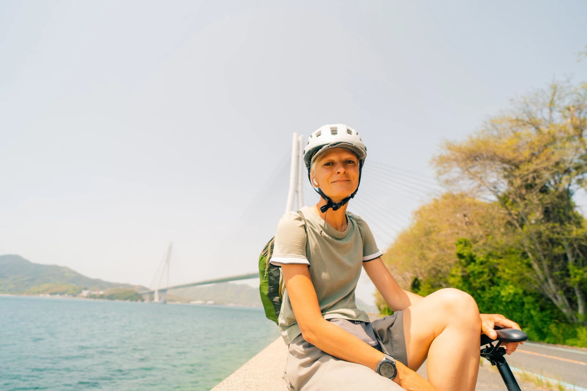
Crossbikes and city bikes: collect at any terminal and leave at any other, over several days if you like; a helmet is lent free.
Electric-assist bikes: collect at six terminals, leave at any.
Sportier e-bikes: same-day hires only; they go back at any terminal, but on the day you hire them.
Tandems: back to the terminal they came from, the same day.
A change of plan: if the weather turns, you can switch your drop-off terminal halfway.
At Golden Week, from late April into early May, and at Obon in mid-August, every bike can be out, so book ahead for those weeks. Shimanami Japan publishes the bike types, terminals and rules in English.
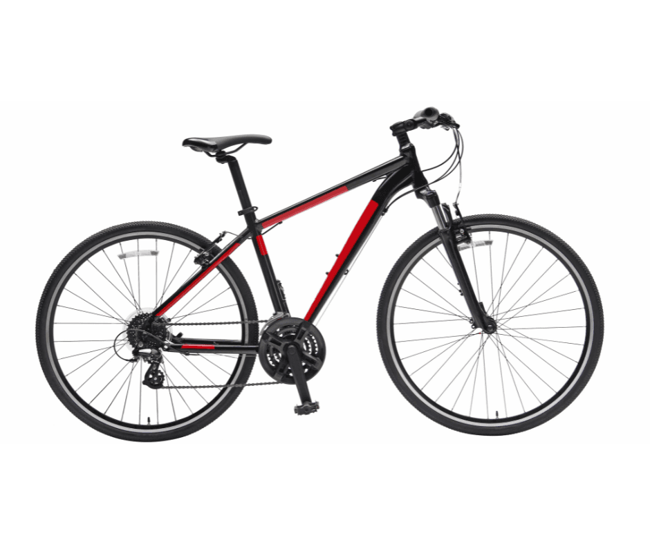
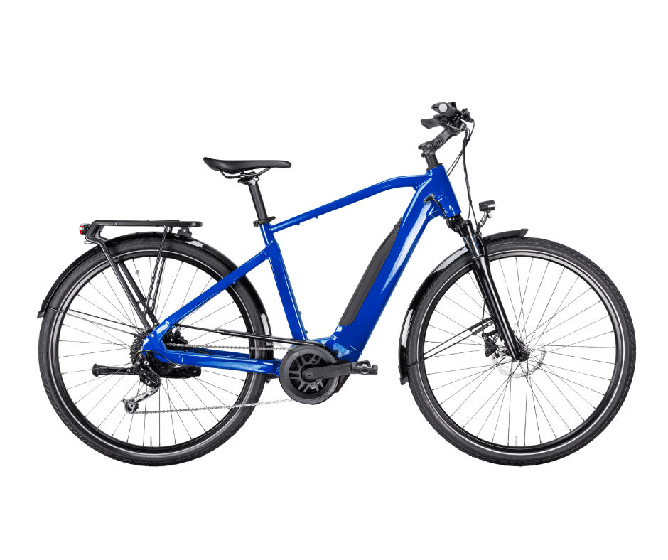
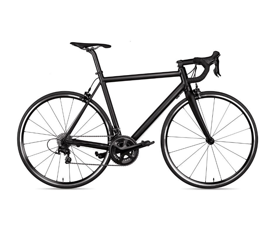
A public hire bike is made for a day on the islands. For a ride of several days, a bike built for touring makes the long stretches smoother, so on our tours you choose from the bikes below, set up and waiting for you in Onomichi:
Whichever bike you ride, it is the first booking; the bags, the boats and the way home come next.
Bags, boats and the bus back
A hire bike gets you over the bridges, but your luggage, the ferries and the trip home each need arranging too:
Bags: two courier services forward them between hotels along the route, so you can ride with only a day bag. Book them before you set off.
Ferries as short cuts: a boat from Onomichi to Setoda takes bikes, in about 40 minutes, which lets you skip the first two islands; other ferries link Imabari with Habu, on Innoshima, by way of the Kamijima islands.
The bus back: there is no direct train between Onomichi and Imabari. The Shimanami Liner bus links Imabari and Fukuyama by way of the islands in about an hour and a half, and since 1 October 2026 every trip must be booked.
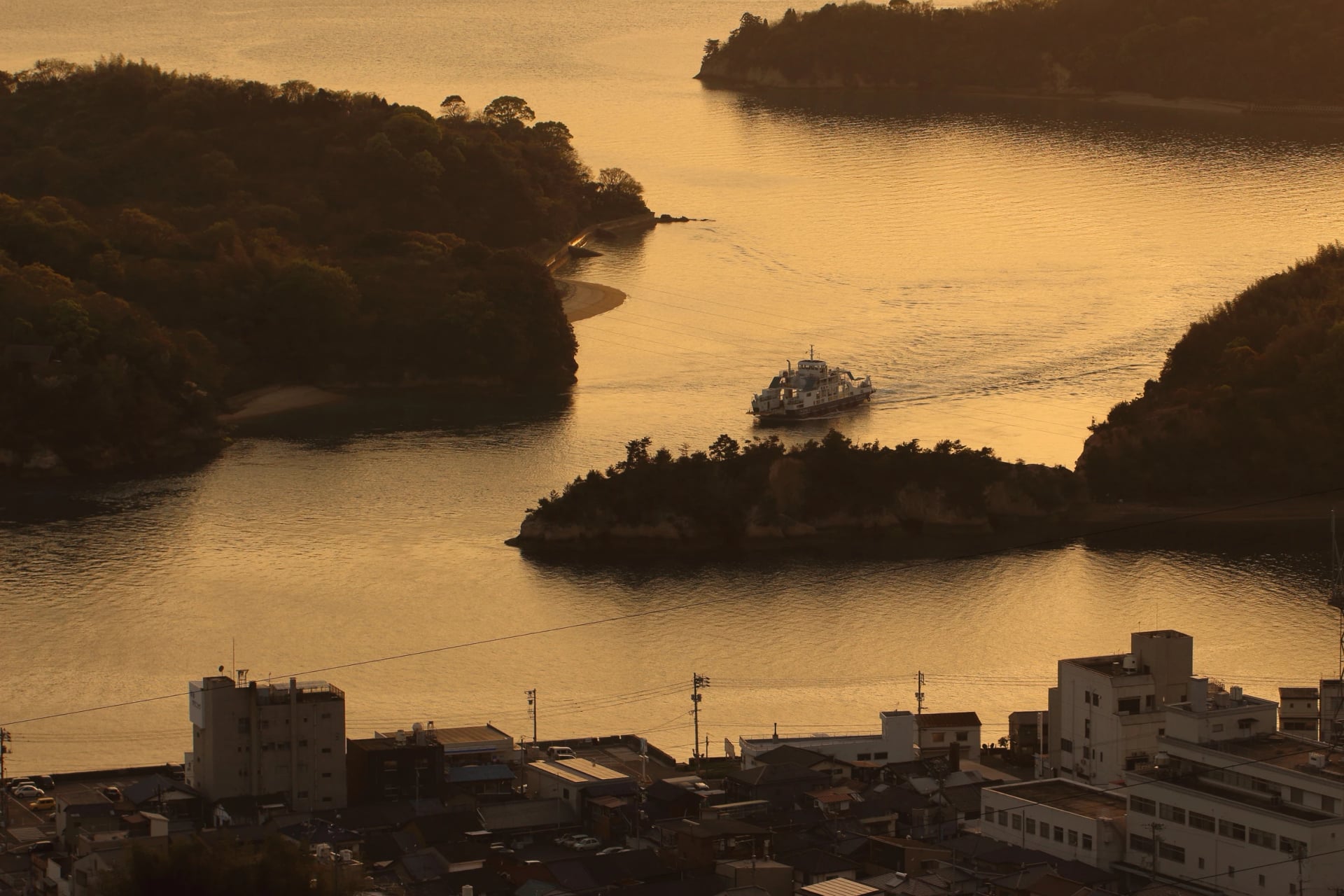
Shimanami Japan keeps the boat, bus and train links on one page. That makes three more things to book, before the beds.
Where to sleep
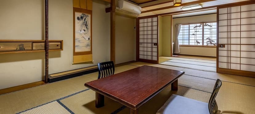
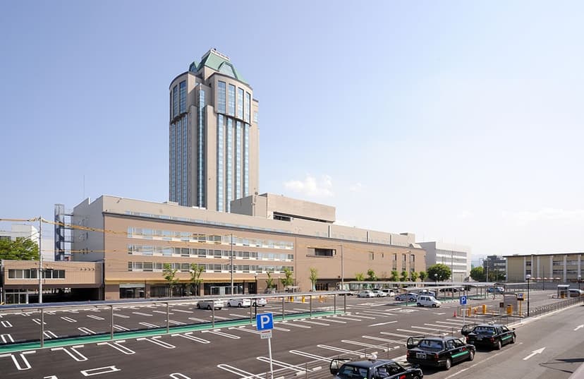
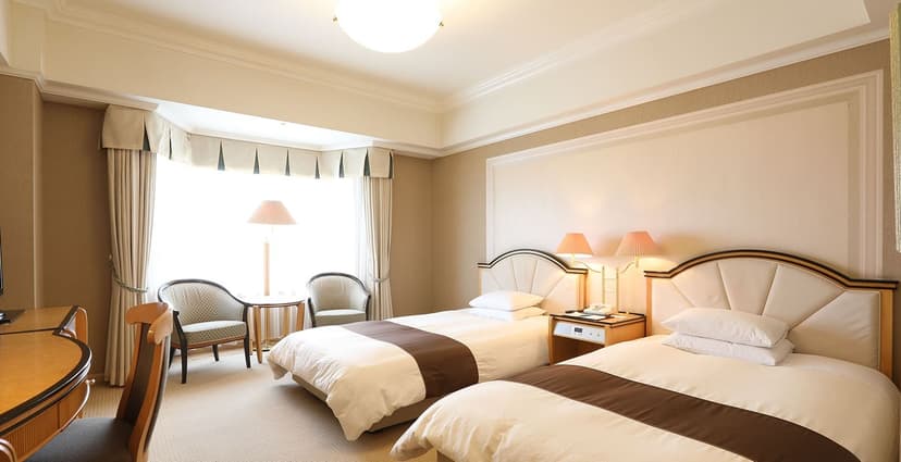
Where you sleep decides how you split the days, and on the islands the choice is small. Onomichi and Imabari have hotels of every size, but the islands have far fewer beds: Setoda has a handful of inns and guesthouses, some with shared bathrooms, and Ōmishima a few ryokan and inns. Sunrise Itoyama, at the official finish, has rooms of its own.
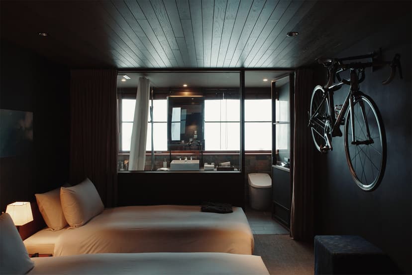
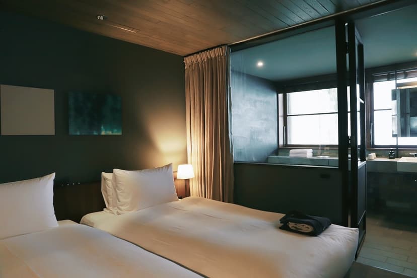
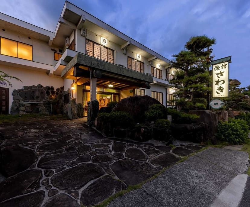
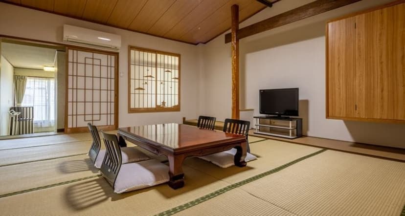
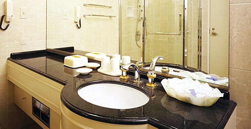
These three are where we put our own riders, each with breakfast included and room for the bikes indoors:
Prefer it booked?
Add it all up: a hire bike with terminal hours to beat, a courier for the bags, a ferry, a bus seat and island rooms that fill early. On our self-guided tour we book all of it: the rooms, including a ryokan night with dinner on Ōmishima, your bikes ready in Onomichi, the ferry and the bags sent ahead. You ride. Take a look:
Route: Onomichi to Imabari, with nights in Onomichi, Miyaura and Imabari
Bikes: a trekking bike, a touring e-bike or a road bike, ready for you in Onomichi
Bags: sent ahead to the next hotel on each riding day
Want other dates or an extra night on the islands? Tell us through our inquiry form.
Frequently Asked Questions


Plan with a travel expert
Free advice from a team that knows these routes inside out - real people, not a bot

Hassle-Free
We handle itineraries, accommodations, and anything else you prefer not to deal with, so you can enjoy a carefree holiday.

Tried & Tested Adventures
Our cycling routes are hand-picked & tested, to ensure breathtaking landscapes, smooth roads, and maximum safety - giving you the perfect ride every day.

Unbeatable Support
Our customer support is where we show our passion, ensuring your cycling holiday runs smoothly and your well-being is always our top priority.

Book with Confidence
We are a financially protected company, fully bonded and insured, keeping your money safe and allowing you to travel with confidence.