Cycling in Japan on 12 National Routes and Quiet Back Roads
Cycling in Japan runs on 12 signed National Cycle Routes and quiet farm lanes: which to ride in which month, and the road rules that changed in 2026.
Quick links
Don't want to read all this?
We've planned 800+ cycling trips. Send your dates, fitness and group size — we'll map the route and book every night.


A blue line painted along the left edge of the road tells you you're on the route, and in Japan it can run for days: over island bridges, round the country's largest lake, down 1,487 km of Pacific coast. Since July 2026 there are 12 of these National Cycle Routes, 3,787 km in all. Between them lie the roads most visitors never see, farm lanes through rice fields, river paths and forest roads where an hour can pass without a car.
This guide is for riders planning a first trip to Japan with a bike. It sorts the country by the kind of riding, from flat lake loops to passes above 2,000 m, says which region suits which month, and explains what a ride here asks of you that it wouldn't at home: bikes go on trains only in a bag, luggage travels a day ahead, and police have been ticketing cyclists since April 2026.
Four Kinds of Road
Is Japan bike-friendly? Yes, once you are out of the big cities, and how easy it feels depends on which road you are on. Big cities are the tiring part: pavements shared with walkers, traffic lights every block. Outside them, four kinds of road carry almost every ride.
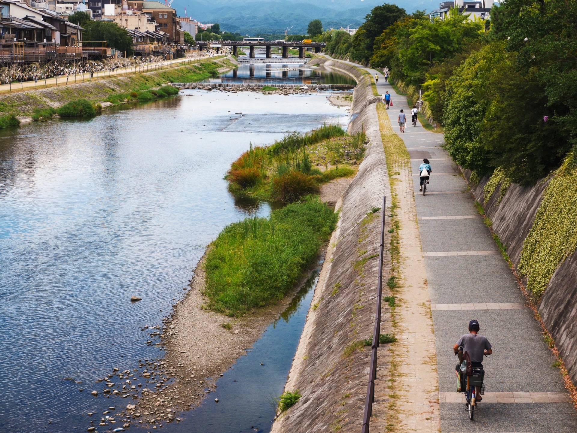
Cycle paths along rivers, lakes and old railways are the easy wins: no cars at all. The path beside the Kizu River from Kyoto towards Nara is open only to bikes and people on foot, and about 40 km of the Ring-Ring Road is a former railway, north of Tokyo, with the old station buildings as rest stops.
National roads (kokudō) are the numbered main roads. They are well surfaced, signed in English and Japanese, and busy: Route 42 on the Kii coast: up to 23,600 vehicles a day, by the transport ministry's 2021 count. Long tunnels are common.
Prefectural and farm roads are where Japan rides best. They are narrower, lightly used and often run beside a national road, a valley's width away from the trucks.
Rindo, the forest roads, climb into the mountains on broken tarmac or gravel. They are built for forestry, close behind gates after storms and have no shops or water.
The National Cycle Routes mix all four. Each route section below says how much of it runs away from traffic, because that, more than the scenery, decides how a day feels.
The 12 National Cycle Routes
The title goes only to routes that meet a national standard, set by the transport ministry. The first three were named on 7 November 2019, three more on 31 May 2021 and six on 23 July 2026, so most guides still list six.
Route | Where | Length |
Tokapuchi 400 | Tokachi plain, Hokkaido | 403 km |
Fukushima Hamadori Cycle Route | Pacific coast, Fukushima | 179 km |
Tsukuba-Kasumigaura Ring-Ring Road | Ibaraki, north-east of Tokyo | 176 km |
Pacific Cycling Road | Chōshi (Chiba) to Kada (Wakayama) | 1,487 km |
Fujiichi | Round Mount Fuji | 163 km |
Yukiguni Uonuma Golden Cycle Route | Niigata | 193 km |
Toyama Bay Cycling Route | Toyama | 102 km |
Ishikawa Satoyama-Satoumi Cycling Route | Ishikawa | 517 km |
Biwaichi | Round Lake Biwa, Shiga | 193 km |
Tottori Uminami Road | Tottori | 152 km |
Shimanami Kaido | Onomichi (Hiroshima) to Imabari (Ehime) | 70 km |
Ama-Ichi | Uki to the Amakusa islands, Kumamoto | 152 km |
See every route on one map before you choose: blue lines are the National Cycle Routes, red lines are our tours, and the black dashes are the ferries that link them.
Island Bridges
The Seto Inland Sea, between Honshu and Shikoku, is where Japan's island riding happens. Road bridges hop from island to island, the cycle lanes sit apart from the cars, and lemon groves and boatyards line the shore between them.
Shimanami Kaido
Distance: 70 km, Onomichi to Imabari
Car-free: the bridge decks, on their own cycle paths
Start: JR Onomichi station
Rides best: April, May, October and November
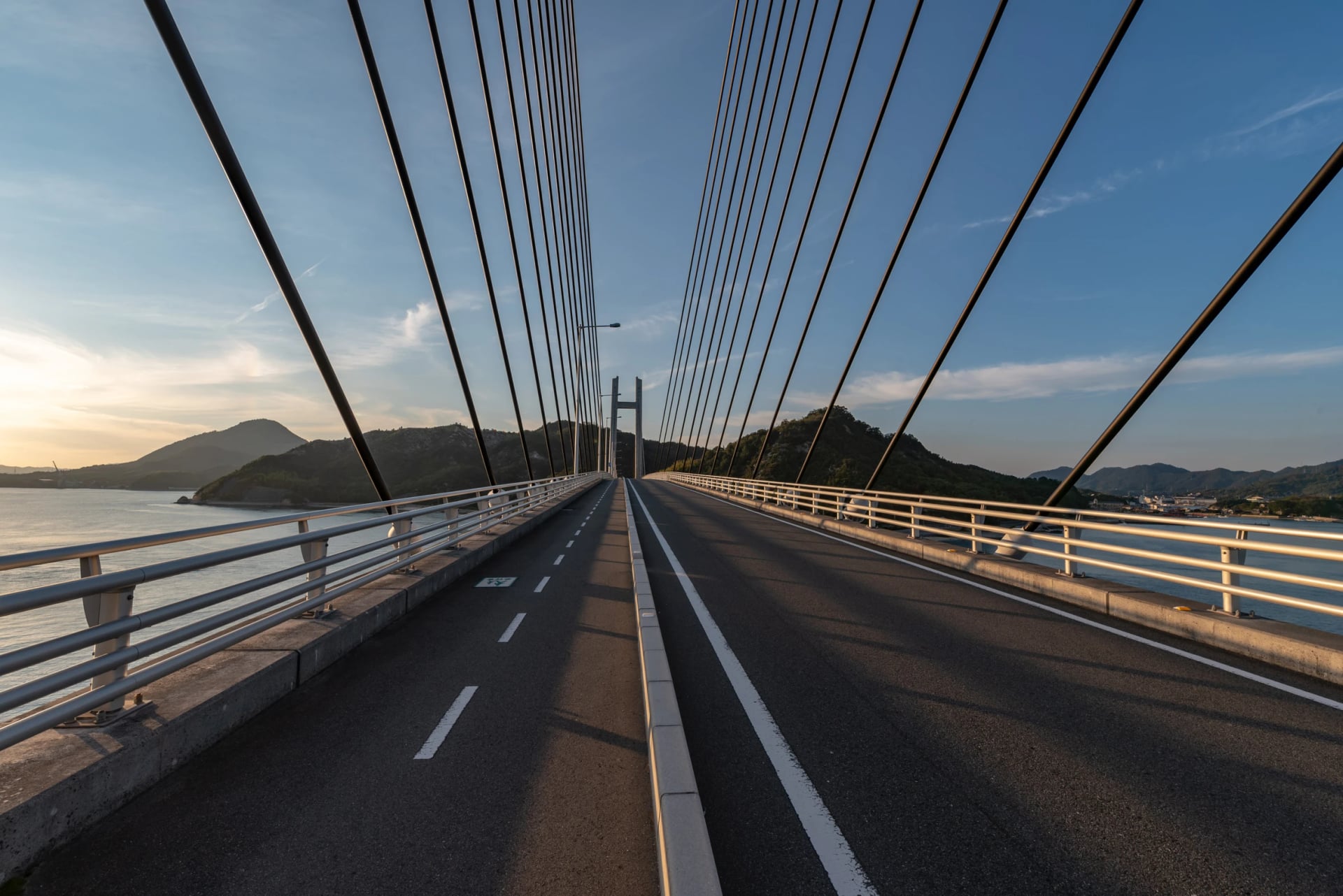
Japan's best-known ride crosses six islands on six bridges, with a five-minute ferry in place of the seventh, and it was one of the first three National Cycle Routes. Rental bikes can be dropped at terminals all along the line, so it is the one route in the country that works one-way without planning. Our Shimanami Kaido route guide takes it bridge by bridge, with every terminal and a GPX of the blue line to download.
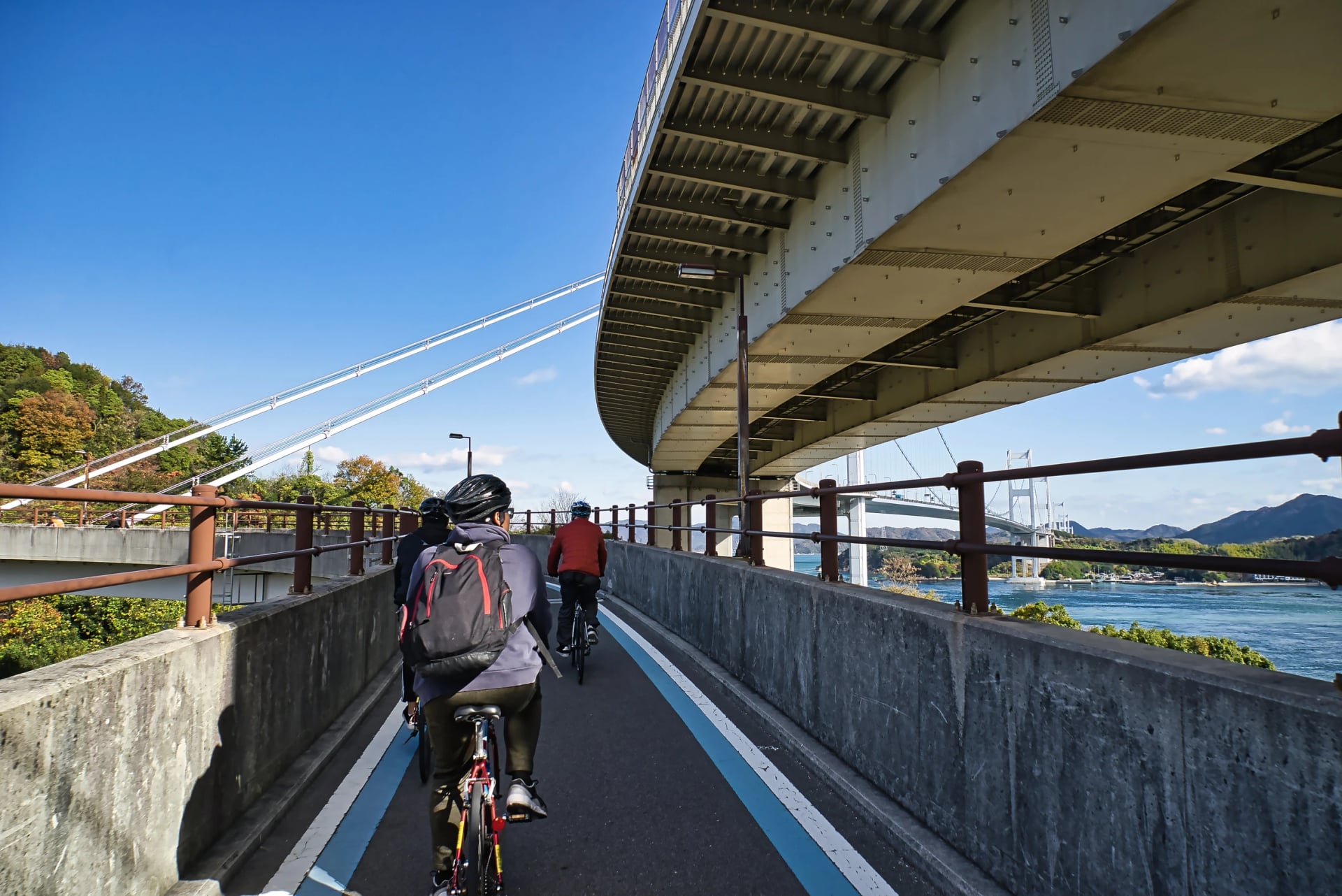
Two days is enough to ride it, but the islands deserve a night. On our Shimanami Kaido Island-Hopping Bike Tour we book an inn on Ōmishima, send your bags ahead to it and leave you to ride.
Tobishima Kaido
Distance: about 30 km by the shortest line, 50 km over every island
Car-free: a signed cycling road with little traffic and few lights; the bridges carry cars too
Start: JR Nigata station, 50 minutes from Hiroshima on the Kure line, or the Imabari to Okamura boat
Rides best: April, May, October and November
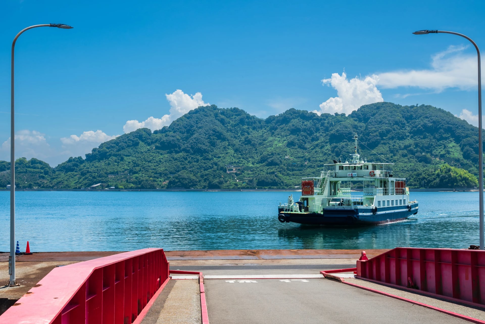
West of the Shimanami Kaido, the Akinada Tobishima Kaido crosses seven bridges and seven islands between the Hiroshima mainland near Kure and Okamura, the last island before Shikoku. Hiroshima prefecture keeps the shortest line as a cycling road, and Tobishima is flatter and quieter than the Shimanami Kaido. Mitarai, on Osaki-Shimojima, is an Edo-period port kept as a historical preservation district, one of three in the prefecture. Most riders see the chain in a day; the island inns are few and small, which is what makes a night there hard to book. Our Tobishima Kaido guide covers the boats, the bridges and the beds. Reaching Okamura means the city boat out of Imabari, about an hour, and the boat carries a handful of bikes and takes no bookings, so the first sailing of the day is the one to catch.
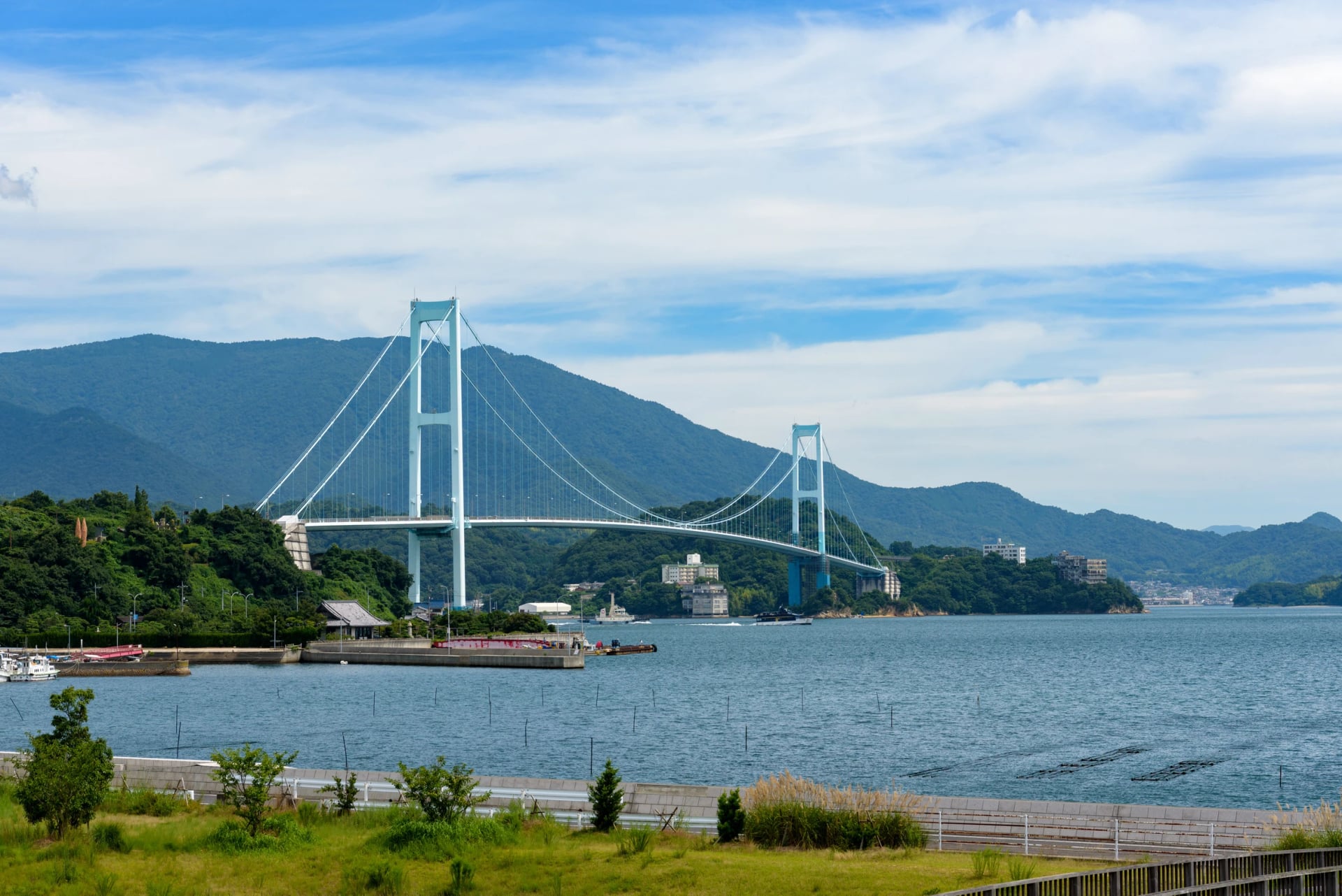
Linking the two island chains is where a trip usually comes apart: the boat, an island inn with six rooms, one bike for both. We've lined up all three on our Shimanami & Tobishima Island Bike Tour, so you only ride.
Yumeshima Kaido
Distance: about 63 km round all the islands
Car-free: quiet island roads with the blue line; one narrow bridge with no verge
Start: by boat only, from Imabari, from Habu on Innoshima or from Ikuchijima
Rides best: April, May, October and November
The third chain is the one nobody writes up. Four islands of Kamijima town, Iwagi, Ikina, Sashima and Yuge, hang off the Shimanami Kaido's southern side, joined by three bridges and reached only by ferry. The roads are empty by Shimanami standards. On Iwagi, Mount Sekizen climbs 370 m in about 5 km and carries 3,000 cherry trees; the island grows a green lemon that is picked unripe. A short ferry from Habu puts you on Ikina in a couple of minutes, bike and all.
Lakes and Rivers
Water keeps a route flat, and Japan's lake and river paths are the gentlest riding in the country: no climb worth the name, a train station at either end and, on the big lakes, a ring you can't get lost on.
Biwaichi
Distance: 193 km round Lake Biwa, with a 150 km north and a 50 km south either side of the Lake Biwa Bridge
Car-free: the quiet half is the north basin; the east and west shores follow main roads for long stretches
Start: Moriyama, 25 minutes from Kyoto on the Biwako line
Rides best: May, then September to November
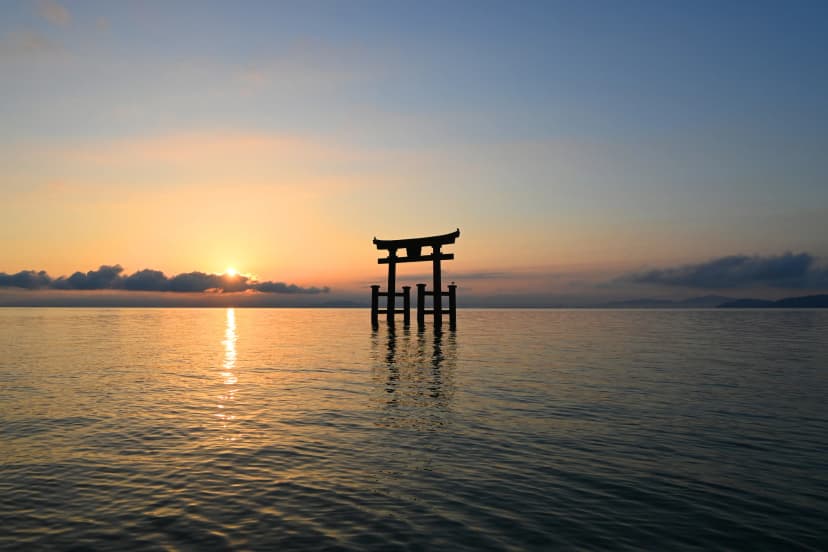
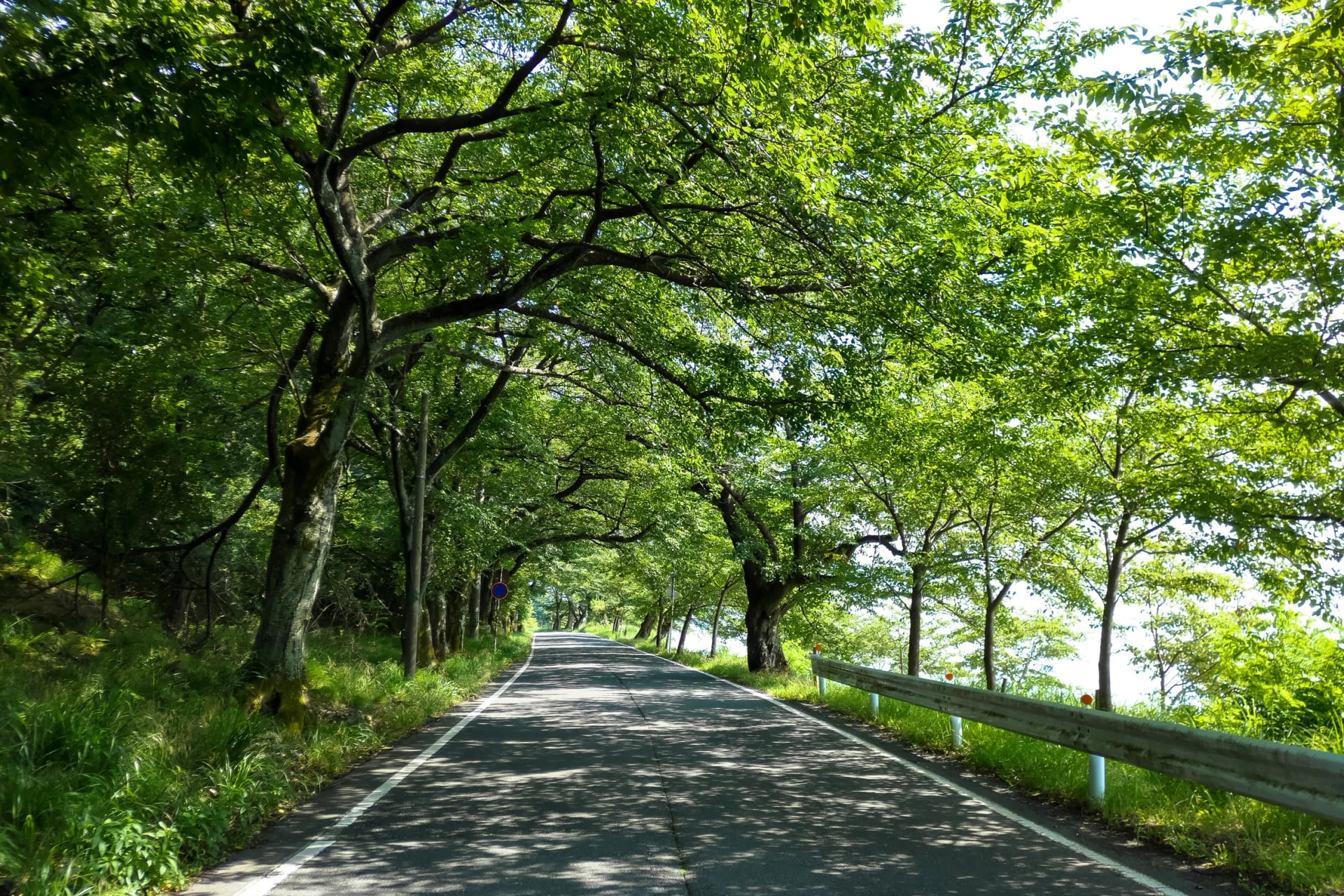
Japan's largest lake has its own word for the lap, Biwaichi, and a blue line to follow for all 193 km. The ride goes counter-clockwise, because the route keeps to the left-hand side of the road and that side has the water. The whole lap climbs about 70 m, by JNTO's figure; the only hills are at the top of the lake. Boats across the lake shorten it, and the Lake Biwa Bridge lets you ride the south as a day on its own.
Tsukuba-Kasumigaura Ring-Ring Road
Distance: 176 km by the ministry's count, about 180 km on JNTO's
Car-free: about 40 km on the old Tsukuba railway line, the rest on flat lakeside roads with little traffic
Start: Tsuchiura, about an hour from Tokyo station on the Jōban line
Rides best: March to November
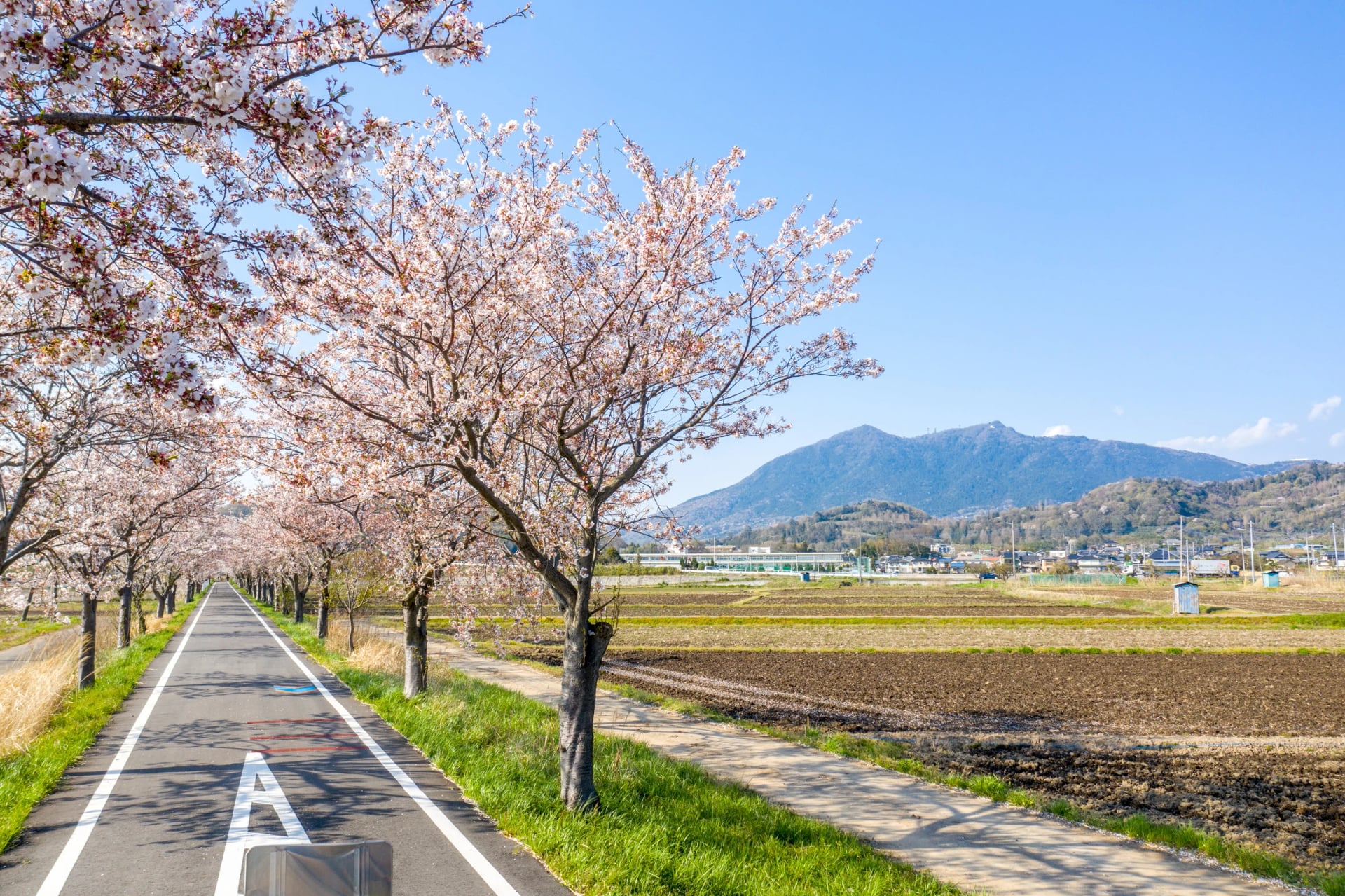
The nearest National Cycle Route to Tokyo joins two things: a rail trail from Iwase to Tsuchiura, where the old station platforms are now rest stops, and a lap of Lake Kasumigaura, 125 km in full or 90 km on the short cut. Ring Ring Square, at Tsuchiura station, has showers, lockers and rental bikes. About 58 m of climbing makes it the easiest route here; the optional 25 km hill climb up Mount Tsukuba, with stretches over 10 per cent, is for those who want the opposite.
Kyoto to Nara by River
Distance: about 45 km of riverside path in Kyoto prefecture
Car-free: all of it, a path for bikes and walkers only
Start: Togetsukyō Bridge in Arashiyama, Kyoto
Rides best: spring and autumn
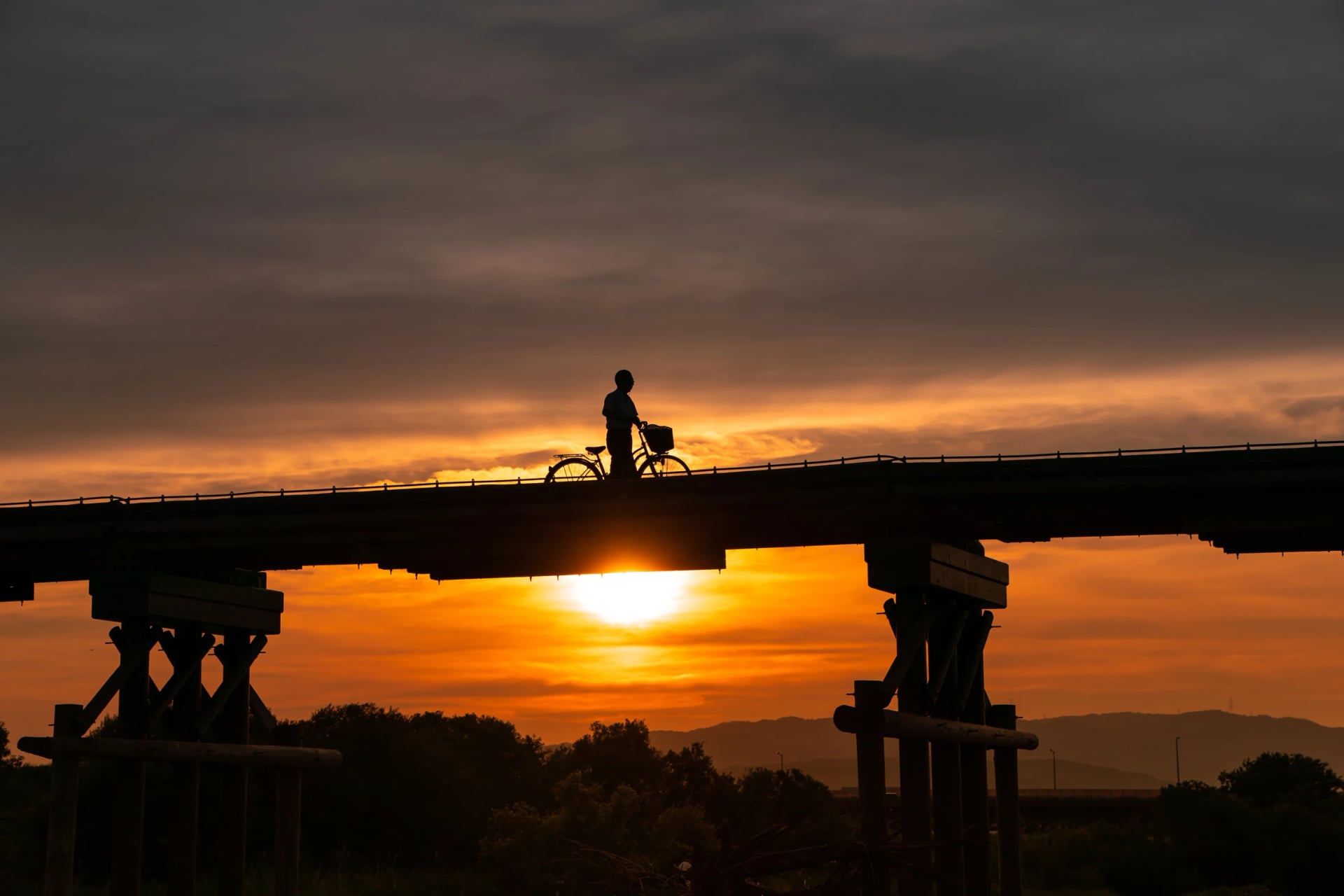
The path leaves Kyoto at Arashiyama and follows the Katsura and Kizu rivers south through the tea country of Uji. Halfway, it meets Nagare-bashi, a wooden bridge 356.5 m long whose deck is roped to its piers so that a flood floats it off instead of breaking it; typhoons took it in 2014 and again in 2017. Bikes cross Nagare-bashi pushed, on foot.
Temple Roads
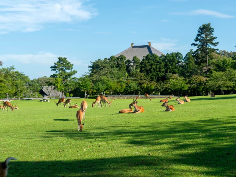
South of Kyoto, a bike ride becomes a pilgrimage whether you mean it to or not. Three UNESCO listings lie a day or two apart: the temples of Nara, the ancient capitals of Asuka and Fujiwara, listed on 26 July 2026, and the sacred sites of the Kii Mountains, Yoshino and Kōyasan among them.
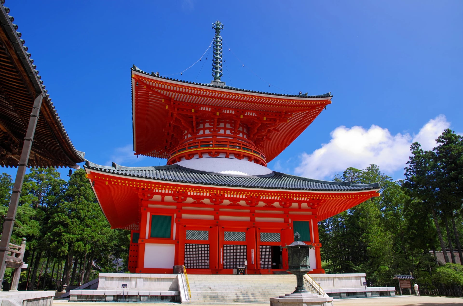
The way in is flat. The Kizu river path opens a 180 km riverside line: 45 km in Kyoto prefecture by its own count, then on for about 75 km through Nara and 60 km beside the Kinokawa river to Wakayama. The mountains come after Asuka. Kōyasan's temple town sits on a plateau at about 800 m, and the last 10 km up is Route 480, shared with the buses that bring pilgrims to the top.
One date matters for 2027 plans: the Kinokawa path is closed at the river mouth until mid-June 2027 while an old bridge is taken down, with a detour around the works.
Temple inns take few guests, many want cash, and the bags must reach the mountain before you do. Our Kyoto, Nara & Kōyasan Bike Tour sorts all three in advance.
Coast Roads
Japan is an island country with 30,000 km of coastline, and two of its National Cycle Routes do nothing but follow it. Coast riding here is flat and open, with the sea on one side and a railway on the other, so a tired rider can always get on a train. The two coasts below sit at opposite ends of the country's weather: the Sea of Japan side at Toyama rides best in early summer, Ehime's west-facing shore in autumn when the sunsets come early.
Toyama Bay
Distance: 102 km, Himi to Asahi
Car-free: coastal roads with the blue line; one promenade where bikes are pushed
Start: Himi, where the rental bikes are; the ride ends at a terrace with showers in Asahi
Rides best: April to November
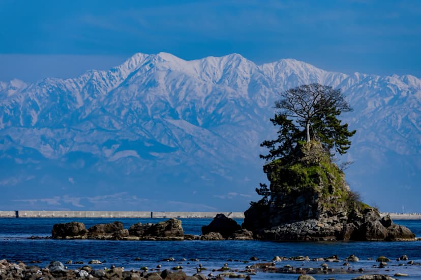
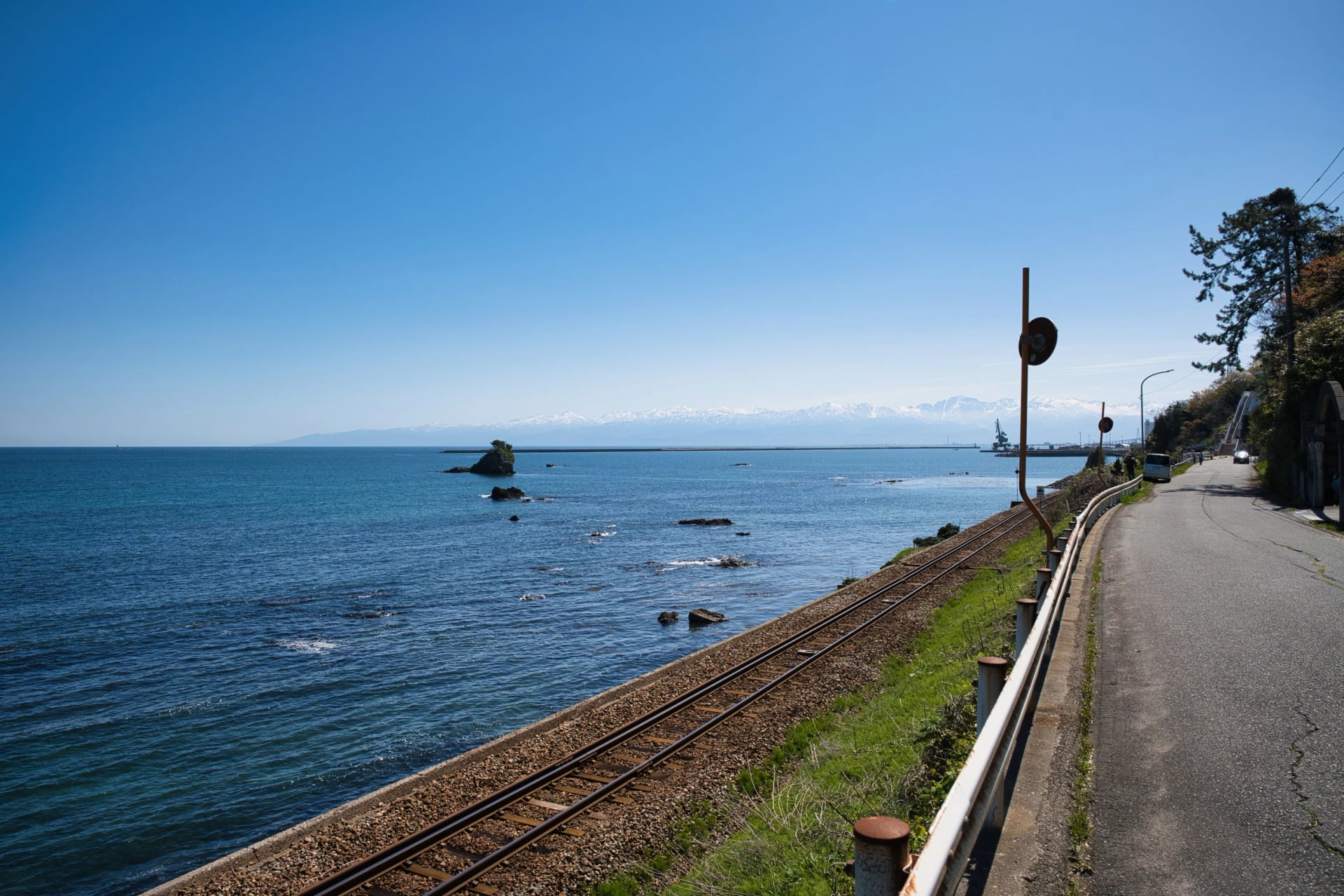
The Sea of Japan coast has one National Cycle Route, and it is the flattest: 35 m between the route's lowest and highest points, by the prefecture's figure. The line follows the bay from the fishing town of Himi to Asahi, crossing the Shinminato Bridge, 3,600 m long and the largest cable-stayed bridge on this coast, and taking a free prefectural ferry that runs about every 30 minutes and carries bikes. The view is the point: the Tateyama range stands 3,000 m high straight across the water.
Ehime's Sunset Coast
Distance: about 130 km of Route 378, Iyo to Uwajima
Car-free: none; a national road along the shore
Start: Matsuyama, which has a JR station and an airport
Rides best: April, May, October and November
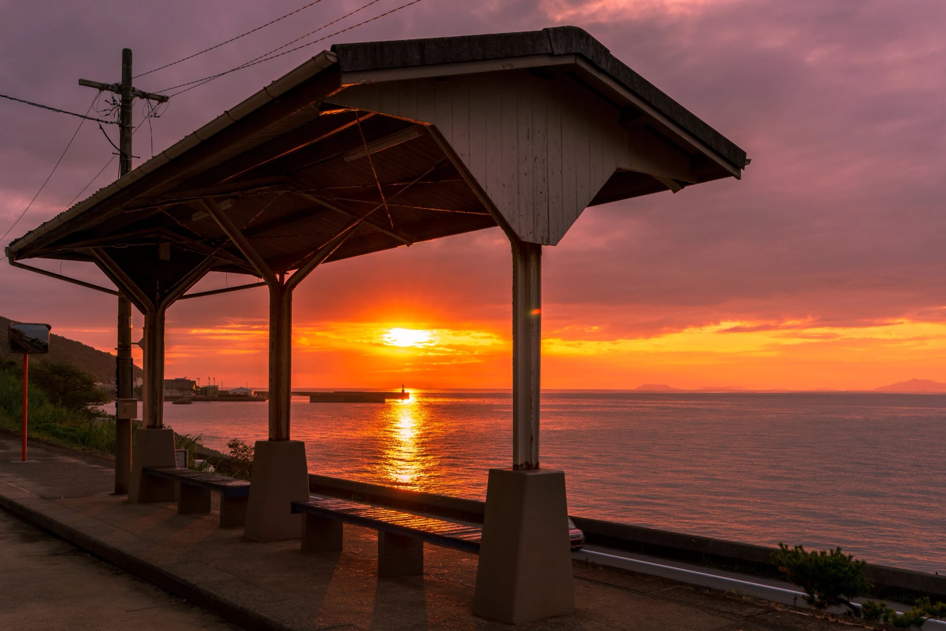
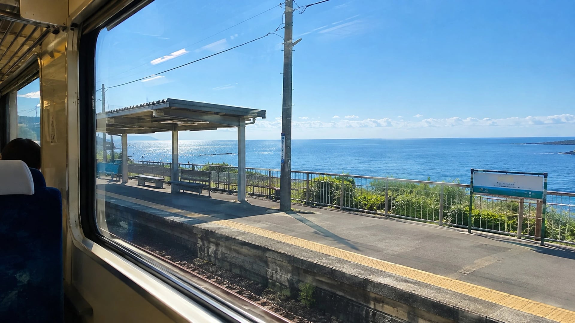
Shikoku's west coast starts at Matsuyama, the hot-spring city a day's ride beyond Imabari. South of it, Route 378 follows the Iyo-nada shore all the way to Uwajima. Its nickname, the Yūyake-Koyake Line, means roughly "sunset and dusk": a nationwide public call chose it because the sun sinks into the Inland Sea from any point on the road. JR Shimonada station was once the closest to the sea in Japan, opened in 1935, and riders still stop there for the photo.
Mountain Passes
Japan's road-bike riders measure themselves on three climbs, and visitors with a road bike ask about them more than any guide admits. We don't run tours on them; they are here because the question keeps coming.
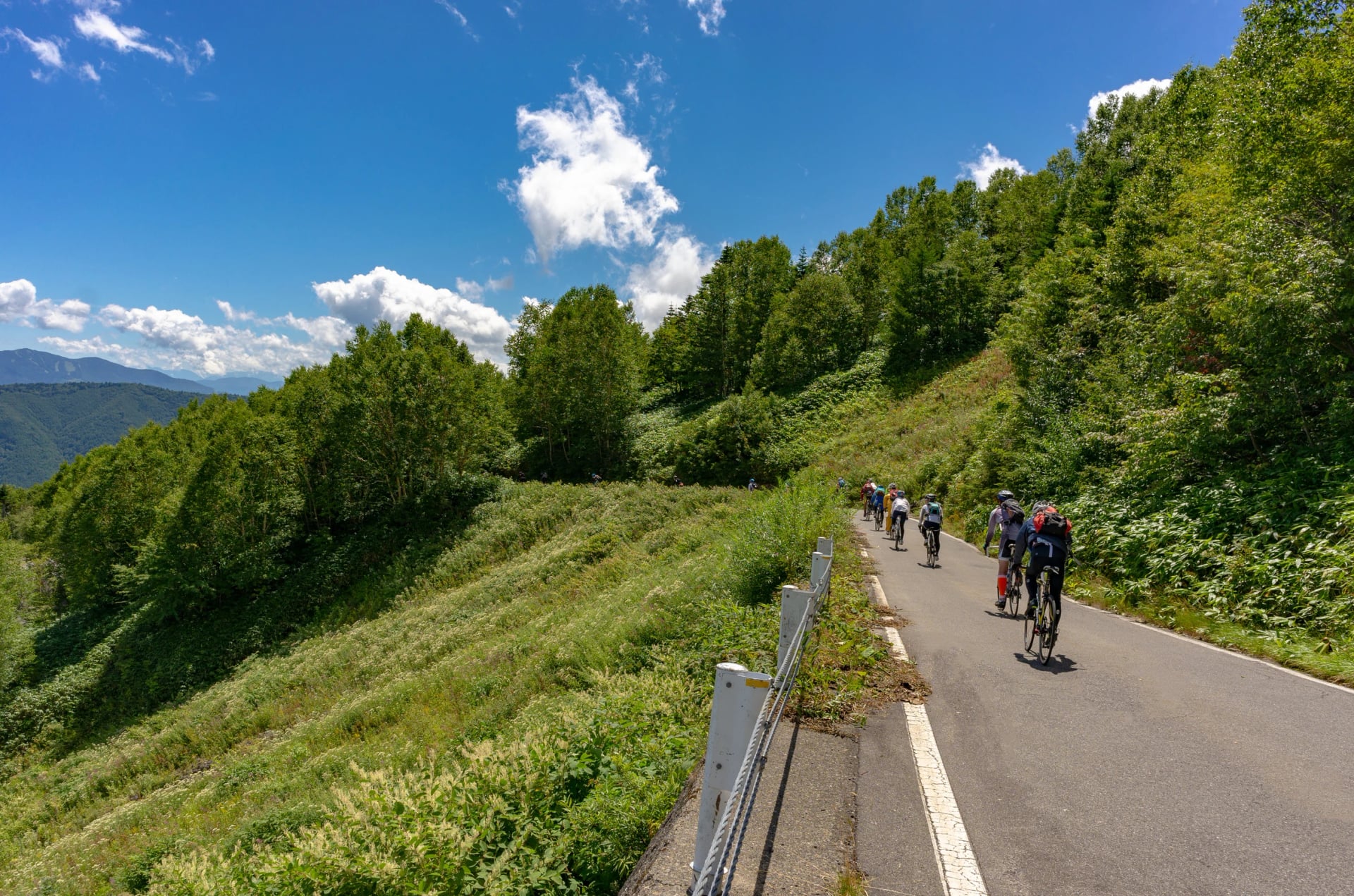
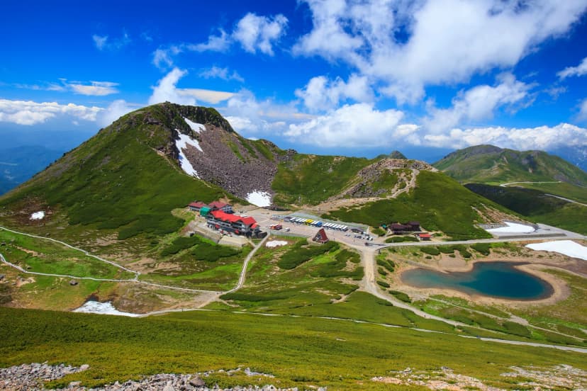
Norikura is the highest road in Japan: the Echo Line climbs 20.5 km and 1,260 m at an average of 6.1 per cent to Tatamidaira, 2,702 m, where the buses turn round. Private cars are banned above the gate at Sanbondaki, so the traffic is buses, taxis and bikes, and bikes are allowed only from 1 July to 31 October. The Norikura Hill Climb has run on the last weekend of August since 1986.
Shibu Pass, 2,172 m, is the highest point on any national road, on Route 292 between Kusatsu and Shiga Kōgen. From Kusatsu it is about 18 km and 1,000 m at 5.5 per cent. The road shuts for winter from 11 November 2026 to 21 April 2027, and the Kusatsu side closes again whenever Mount Shirane's volcanic alert rises; the Shiga Kōgen road-status page is the one to check.
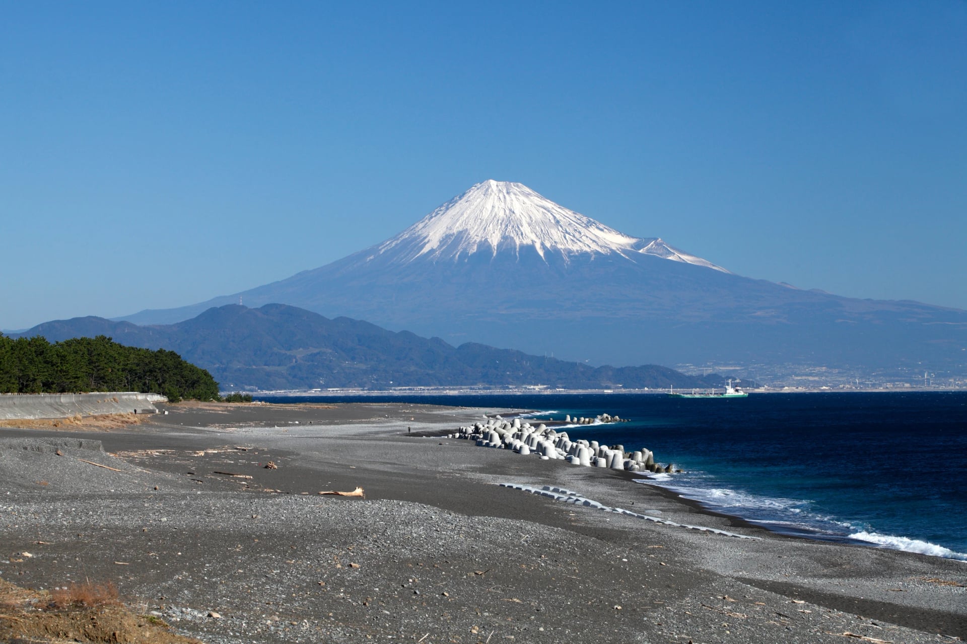
Mount Fuji has two. The Fuji Azami Line averages over 10 per cent: 11.4 km and 1,200 m on the Shizuoka side, with a 22 per cent pitch, by Japan Cycling Info's measure. The Mount Fuji Hill Climb, each June on the Yamanashi side, is the gentler Subaru Line, 24 km and 1,255 m, and drew a planned field of 8,500 in 2026. Round the mountain's foot runs the newest National Cycle Route, Fujiichi, 163 km with about 1,800 m of climbing.
Below the passes are the rindo, the forest roads. Paved in Kantō, gravel in Hokkaido, rough tarmac in Shikoku, a rindo can run for hours without a car. They close for snow from about December to April and after landslides at any time, and two signs end a ride: a white board reading "closed for the winter season" and a plate reading "no bicycles", both in Japanese only; the signs carousel below shows what they look like.
The Long Way
Three routes on this page are measured in weeks, and one in a month. None is a holiday in our sense, but each has a section that is.
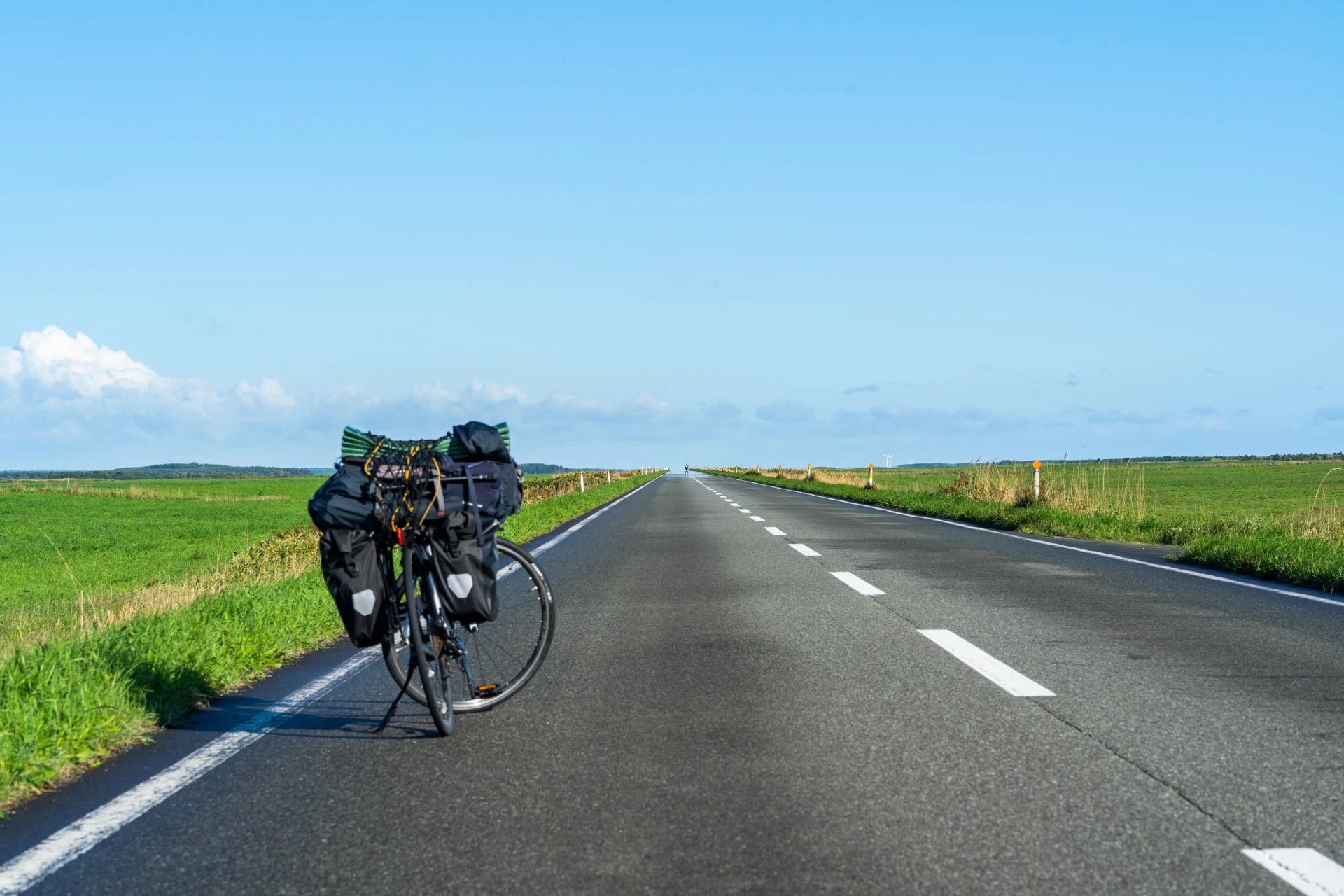
Cape Sōya to Cape Sata is 2,682 km the way the writer Oscar Boyd rode it in May 2024: 27 riding days, 21,730 m of climbing, about 100 km a day. He advises May to June or mid-September to November, and avoiding the rainy season and August. The fastest crossing on record took under six days.
The Pacific Cycling Road runs 1,487 km, the longest National Cycle Route, along the coast from Chōshi to Kada through six prefectures. Its best stretch is the Atsumi Peninsula, where cyclists and walkers have a lane of their own, and the ferry across Ise Bay to Toba is part of the route. Be honest about the rest: for long sections the blue arrow sits on a busy main road, and a section near Futtsu has been closed since a typhoon in September 2026.
In Hokkaido, Tokapuchi 400 draws a 403 km figure of eight across the Tokachi plain from Obihiro, with low traffic nearly everywhere except Mikuni Pass, 1,132 m, where the national highway is heavy. Two short loops, 96 km and 91 km, give the plain in a day; the season is May to October. Japan's largest public ranch, Naitai Highland Farm, is on the way.
Shikoku's own circuit runs just over 1,000 km round the island's edge, through all four prefectures, past Mount Ishizuchi, the highest peak in western Japan. The official site splits it so that a half, Ehime and Kōchi, works alone; the Matsuyama to Imabari leg is 47 km. Our Shikoku cycling guide fits the island to the days you have.
When to Ride Where
Japan runs 3,000 km from north to south, so the month that suits Hokkaido is wrong for the Inland Sea. Three things set the calendar: the rainy season, the typhoons, and the heat in between. The figures below come from the Japan Meteorological Agency's 30-year averages for the daily high and the month's rain, at Hiroshima, Matsuyama and Kyoto for the south, and Sapporo for the north.
Months | Inland Sea, Shikoku and Kansai | Hokkaido |
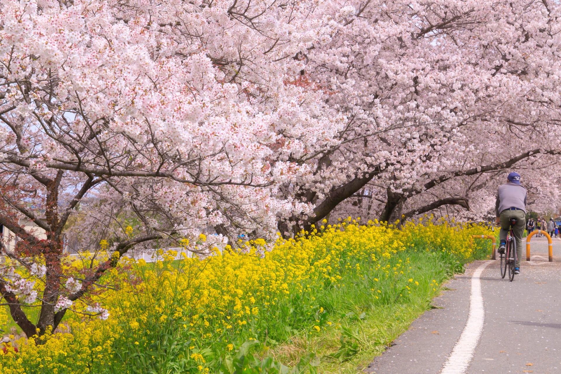
March and April | Cherry blossom: full bloom around 3 April in Hiroshima and Matsuyama, 4 April in Kyoto. April highs of about 20 °C. | Highs of 12 °C; Sapporo's blossom opens around 1 May. |
May | Highs of 24 to 25 °C, 130 to 170 mm of rain. Golden Week fills the inns in the first week. | Spring: highs of 18 °C and little rain. |
June to mid-July | The rainy season, about 5 June to 19 July. Warm, wet, and every day a gamble. | No rainy season. Highs of 22 to 25 °C and a third of Honshu's rain. |
Late July and August | Highs of 31 to 34 °C, humid. Typhoons start to come through. | The weeks Hokkaido is for: highs of 26 °C and long evenings. |
September | Still 29 °C, and the peak month for typhoon landfalls. | Highs of 23 °C. |
October | Highs of 23 to 24 °C, rain down to 110 to 140 mm. The second-best month. | Highs of 16 °C; Sapporo's maples turn around 28 October, and the season ends. |
November | Highs of 17 to 18 °C and about 70 mm of rain, the driest month. Ginkgo turns yellow from mid-month; Kyoto's maples wait until early December. | Highs below 10 °C. |
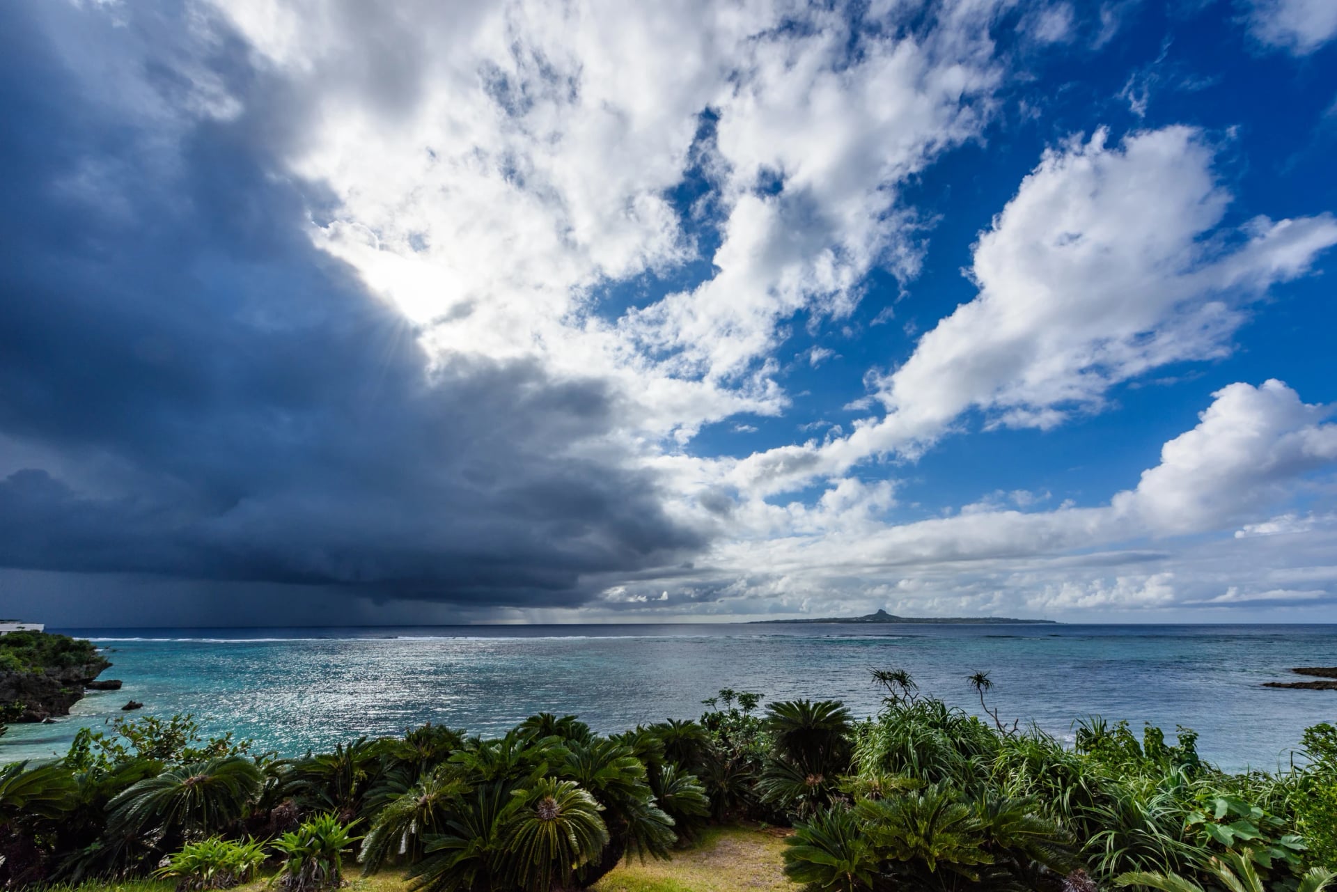
The averages hide the swing. Kansai's rainy season: 17 May in 2025, 2 June in 2026, so a late-May trip can land in it or miss it by a fortnight. Typhoons are the other moving part: about three a year reach land, and the Inland Sea, Shikoku and Kansai each see three or four pass within 300 km, most of them in August and September. Hokkaido sees fewer than two.
So the south rides best in April and May, then October and November, and the north from July into September. Autumn colour reaches the passes first and the cities last: Sapporo's maples in late October, Hiroshima's in late November, Kyoto's in December.
Pack for the Month, Then Check the Sky
The bag that goes ahead of you each day can hold what you like; the one on your back decides the day. What goes in it changes with the month more than with the route, so pack by the season you ride in, then add the one thing your region asks for.
April and May, the south. Mornings at 10 to 12 °C, afternoons at 20 to 25: a light long-sleeve layer, a wind jacket, sun cream from May. Add a mask if cedar pollen gets you; it peaks in March and lingers into April.
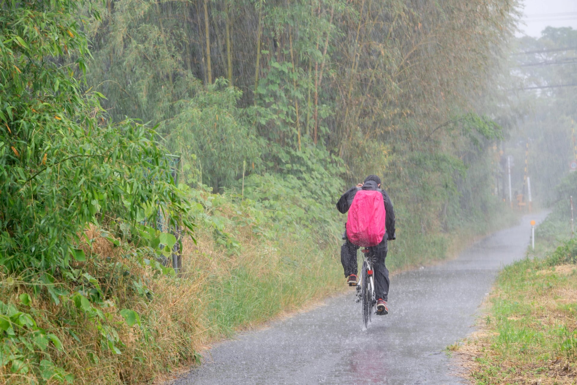
June to mid-July, anywhere south of Hokkaido. The rainy season: Hiroshima gets 226 mm in June and 280 mm in July, against 69 mm in November. A real rain jacket, overshoes, a cap under the helmet, a dry bag for the phone, and a second pair of gloves.
July and August, the south. Highs over 32 °C at 70 per cent humidity: the lightest jersey you own, two bottles, electrolyte tablets, sun sleeves and a neck tube to wet at the taps. Ride early and read the heat index: the Environment Ministry's heat-stroke alert site rates every region each morning, and above 31 it says stop.
July to September, Hokkaido. Summer riding weather, but evenings fall to 15 °C and the north is a day's drive from anywhere: a warm layer, a rain jacket, and spare tubes, because the next bike shop can be 100 km away.
October and November, the south. The easiest packing of the year: arm warmers and a gilet for the morning, nothing for the afternoon. Pack a light down jacket if you'll ride a pass; the air cools by about 6.5 °C for every 1,000 m, so the top of Norikura is 8 degrees colder than the gate where the climb starts.
Any month, any pass above 1,500 m. Full-finger gloves, a windproof for the descent, lights for the tunnels, and a printed note of the road-status page.
Two pages tell you what the sky will do. The Japan Meteorological Agency carries the forecasts, the typhoon tracks and the warnings in English, on a five-step scale: a Warning is level 3, an Urgent Warning level 4, and at either one a coast day becomes a city day. The Japan Tourism Agency's Safety tips site and app push the same warnings to your phone, earthquakes included. Read the typhoon page from July: about 25 storms form each year and three reach land, most of them in August and September, and a track is known days out. Sunset comes early all year: Hiroshima's sunset is 17:11 on 1 November and 16:54 a month later, Tokyo's half an hour sooner, and the police count the hour either side as the worst for cyclists. An autumn 90 km day starts at breakfast.
How Many Days
Leave aside the long-distance lines, and most routes on this page take one to four days to ride, so a trip is really a question of how many you link, and how you cross between them. Bikes don't travel whole on trains, so the links are easiest where a boat or a road joins two routes.
Five days covers the Shimanami Kaido at an easy pace, with a night on the islands and time for the temples of Onomichi before you start.
A week opens two choices. Ride both island chains, crossing by boat from the Shimanami Kaido to Tobishima and finishing in Hiroshima. Or go inland, from Kyoto through Nara and Yoshino to a temple night on Kōyasan, then down to the sea at Wakayama.
Eight to ten days reach Shikoku: carry on south from the islands into Shikoku: Matsuyama's bathhouse, then the sunset coast.
Two weeks joins Kansai and the Inland Sea. Ride Kyoto to Kōyasan, take the shinkansen west to Onomichi and finish on the islands. Book the bikes at each end rather than carrying one across Japan.
The full length of the country, Hokkaido to Kyushu, is a month or more; it has its own section above.
On the Road
Japan's road rules were rewritten for cyclists twice in three years, and many English guides still quote the old ones. The homepage FAQ covers the basics. What matters here is the money: since 1 April 2026 a rider aged 16 or over can be handed a blue ticket, the fixed-penalty notice drivers have known for decades, for any of 113 listed cycling offences. These are the ones a visitor on a rental bike is most likely to meet, with the amounts the Kyoto police and Fukushima city publish in English:
Offence | Fine |
A phone in your hand | ¥12,000 |
A level crossing with the barrier down | ¥7,000 |
A red light | ¥6,000 |
The right-hand side of the road | ¥6,000 |
A stop sign, not stopped at | ¥5,000 |
Riding unlit after dark | ¥5,000 |
An umbrella in one hand, or earphones that block the traffic | ¥5,000 |
Riding two abreast | ¥3,000 |
The ticket is paid afterwards at a bank or post office, not at the roadside. Two offences in three years bring a compulsory safety class, and skipping it can cost up to ¥50,000. Riding drunk is not a ticket at all; it goes through the courts. Older English pages still give the red light as ¥5,000; the police say ¥6,000.
Four situations catch out first-time riders in Japan, all of them at a junction or a barrier. This is what each one means:
In towns the pavement is sometimes open to bikes, and a round blue sign with a walker and a bicycle is what says so. Where you see it, ride the half nearest the road, slowly enough to stop at once, and give way to anyone on foot. Where you don't, the law puts you on the road, on the left.
Right turns happen in two stages, never across the traffic. On green, ride straight over the junction to the far corner, stop, turn the bike to face right, and wait for that road's green. On red, wait at the stop line first, then do the same. The police rule sheet sets it out, and it applies at every signalled junction, marked or not.
Old town streets are often one-way for cars but open both ways to bikes, which is why a route can send you against the arrows. A small white plate under the one-way sign is what allows it. No plate, no exception: the sign applies to you too, and the police do stop riders.
Two closures end a ride in the hills. The winter one shuts the high passes from about November to late April and some forest roads from December, with the dates posted on the road-status pages. The other is a plate with a crossed-out bicycle, on roads and bridge decks where bikes are never allowed. A barrier with either has no way round, however good the road looks beyond it.
Rural Japan feeds a rider every few kilometres. Convenience stores stand on the edge of most villages, open day and night, with a toilet, hot food, coffee and a cash machine; vending machines sell cold drinks on the loneliest climbs; and the roadside stations on the main roads add a farm shop and a bench in the shade. Carry notes anyway: the inns and the noodle shops in the smallest places often take nothing else.
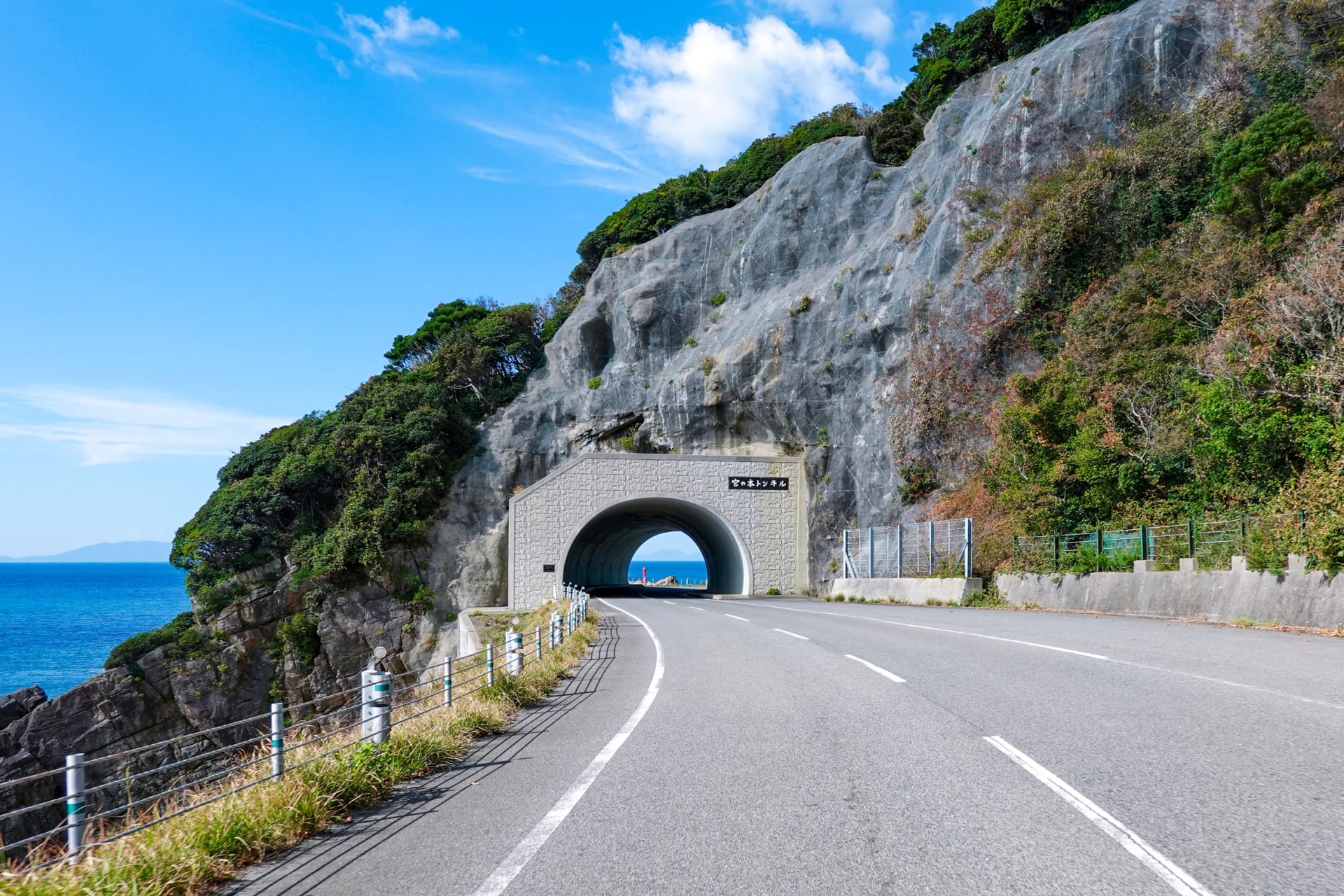
Two hazards are worth a sentence each. Tunnels are where a national road can't be avoided, and they are dark, narrow and loud; switch the rear light on before the mouth, not inside, and ride the left edge in single file. Bears belong to the north: bear injuries hit a record 238 in the year to March 2026, and Akita, Iwate and Fukushima account for most of them. The Inland Sea islands have no bears, and the river paths of Kansai and the Shikoku coast are far from the mountains where they live; a rindo in Tōhoku is a different matter.
Manners on the Bike and off It
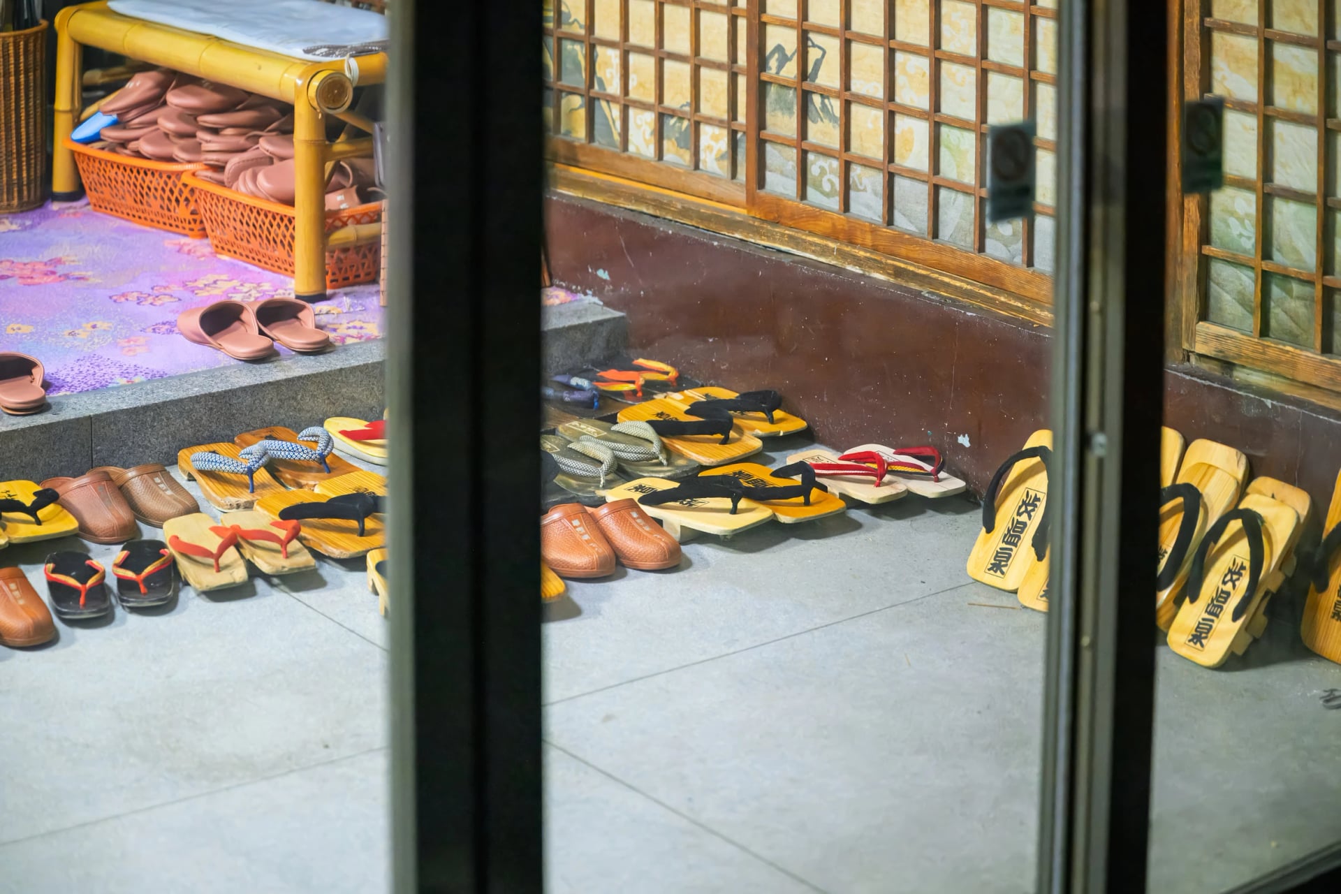
Most of what a visitor gets wrong happens indoors, and all of it is forgivable. Shoes come off at the genkan, the step inside every inn's door; the house slippers go on there, come off again on tatami, and swap for the separate pair that lives in the toilet. The yukata laid out on the bed wraps left over right, for men and women alike, and in cold months a padded jacket goes over it. Ask before wearing it outside: some inns expect it in the street, some don't.
An inn runs to a timetable. Check-in is usually from 15:00 and check-out at 10:00 or 11:00, dinner is served at a fixed hour, often in your room, and the attendant lays the futon while you eat. Ring ahead if you'll be late: punctuality covers bookings, and a 19:00 dinner waits for no one. A nod does the work of a bow, phones stay silent on trains and buses, and a queue is a queue, at the ferry, the ramen counter and the konbini till.
On the bike the rules are the road rules above, with three habits on top. There are almost no public bins, so the wrapper rides with you to the next konbini or station, where the bins have slots for cans, bottles and the rest. Eat standing still, out of the crowd, rather than walking with food. And park where the signs say: Kyoto removes a bike left on the street even for minutes, and getting it back costs ¥3,500 and a trip to the pound with your passport; Hiroshima clears no-parking zones around its stations the same way. The bell is for a hazard, not a person on foot. Japanese riders treat it the way the Road Traffic Act treats a horn: sound it only where a sign requires it or to avoid a collision, and that law carries a fine of up to ¥20,000. Smoking belongs in marked spots; Kyoto fines smoking on its central streets, on a bicycle included.
What a Rider Eats
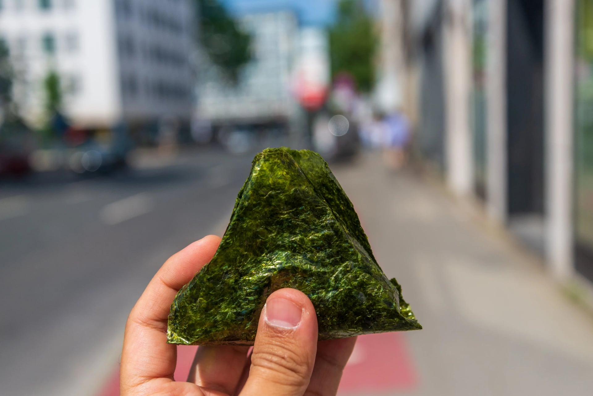
A riding day in Japan is fed by the convenience store. The onigiri is the rider's sandwich: a fist of rice in a sheet of nori around pickled plum, tuna with mayonnaise or grilled salmon, sold cold all day with a hot-water urn, a toilet and a bench beside it. Two of them and a bottle of tea make a lunch that costs less than a coffee at home. Umeboshi and kombu fillings are usually vegetarian; most others are not.
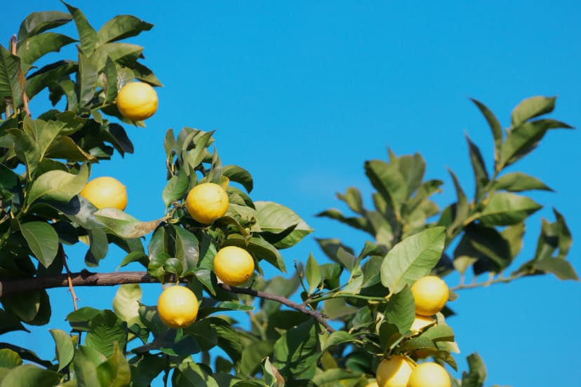
Every region on this page has one dish worth planning a stop around. Hiroshima grows about 60 per cent of Japan's lemons, most of them on the Shimanami islands, and sells them with the peel on and nothing sprayed; the first three trees went into the ground at Kure in 1898. Ehime calls itself the citrus kingdom and grows forty kinds of mandarin, with juice taps in Matsuyama. Imabari cooks a whole sea bream in with the rice; Ōzu stews taro and chicken on the riverbank each autumn, a party more than 350 years old.
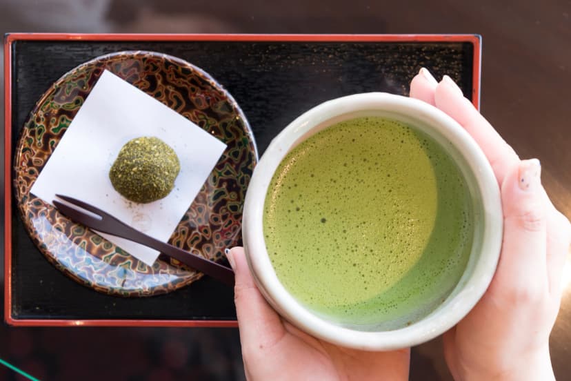
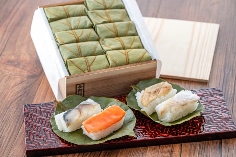
Inland, the Kizu valley shades its tea fields with reeds so the leaf stays sweet enough for matcha, Nara presses salted mackerel into rice inside a persimmon leaf, and the 51 temple lodgings of Kōyasan serve the vegan meal their monks have eaten for twelve centuries. Wakayama makes 60 per cent of the country's ume plums.
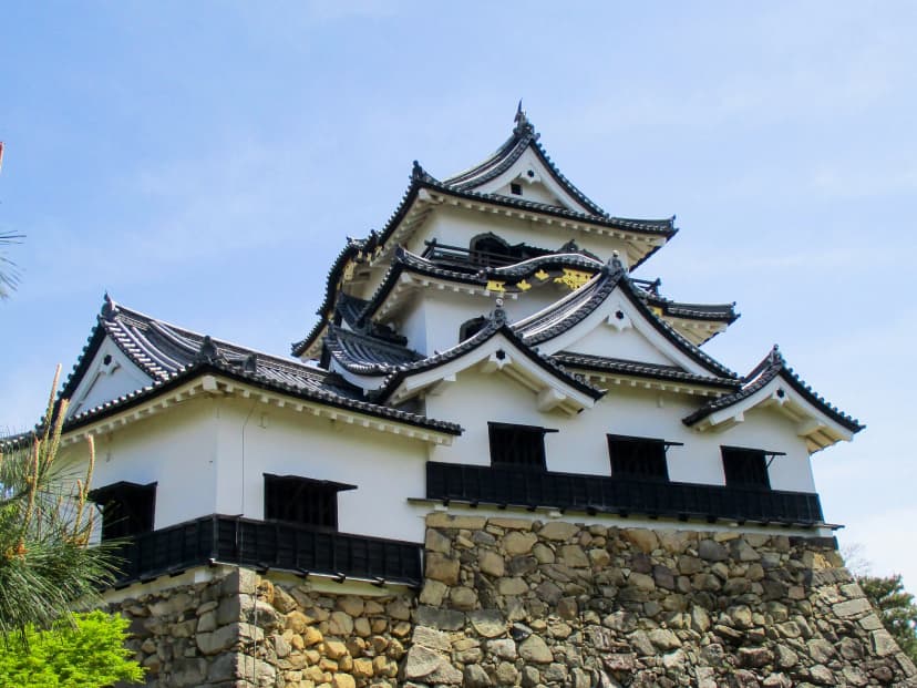
Lake Biwa ferments its carp for a year and Hikone sent miso-cured beef to the shogun as medicine in 1781. Toyama Bay lands the white shrimp nowhere else catches in quantity, from April to November, and in winter the Himi yellowtail. Half the milk in Japan comes from Hokkaido, and on the Tokachi plain the soft serve is made within hours of milking.
Vegetarians have one trap and one fix. The trap is dashi: the stock under miso soup, noodle broth and most sauces is made with bonito flakes, so "no meat" is not enough and the words to use are "no meat, seafood or dashi". The fix is notice. A ryokan in the countryside will cook a vegetarian dinner if asked days ahead, and on our tours we tell every inn before you arrive. For allergies, packaged food must list eight ingredients by law, wheat, buckwheat, egg, milk, peanut, walnut, shrimp and crab, and a card with the allergy written in Japanese gets a straight answer at a restaurant door.
Papers to Carry
One rule covers everyone: foreign visitors must carry their passport at all times, by Article 23 of the immigration law, and an officer may ask to see it. The fine for not having it runs to ¥100,000. You will probably never be asked, JNTO says, but a photo on a phone is not what the law names, so the passport itself rides in the bar bag, in a zip pocket, every day. Children under 16 are exempt.
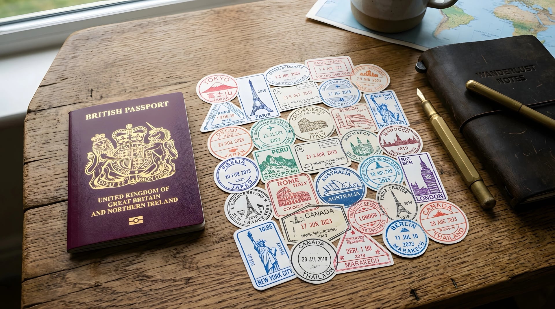
Before you fly, Visit Japan Web, the government's free site, lets you fill in the immigration and customs forms in advance and lands as two QR codes on your phone. It is optional, customs recommends it, and it costs nothing; sites that charge for it are fakes. Declare everything at customs and bring no food for the ride: meat, fruit and plants are banned at the border, with fines to ¥3 million.
Two bits of paper belong to the bike. Thirty-four prefectures require cyclists to hold third-party liability insurance, Hiroshima, Ehime, Kyoto, Osaka, Nara and Shiga among them, by the transport ministry's count of April 2024; in Tokyo and Kyoto the duty falls on the rental business when the bike is hired. Ask any shop whether its cover extends to you, and if you bring your own bike, check that your travel insurance includes liability. The second is the registration sticker you get when you buy a bike in Japan, which the police check; a hire bike carries the shop's. And if a bike of yours is ever towed, the paper that gets it back is, again, the passport.
Bikes, Bags and Trains
On paper, moving yourself and a bike around Japan is simple: trains everywhere, couriers that deliver tomorrow, rental shops at every station. In practice each piece has a rule that bites once. This is the order to settle them in.
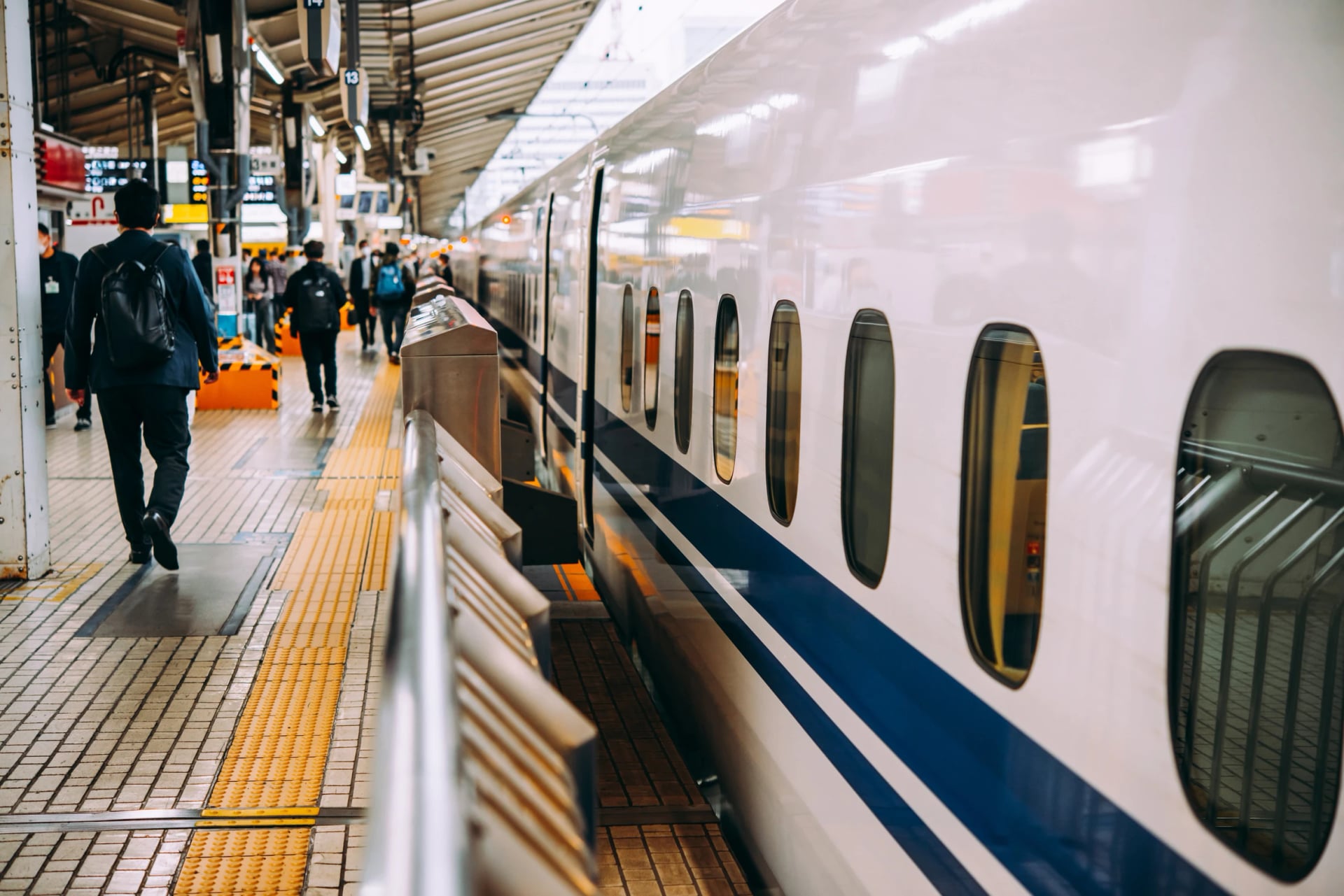
Decide whether the bike flies with you. Your own bike means a box, your airline's bike rule and an oversize seat on every shinkansen; check your airline's bike rules and book bike carriage before you fly. A rental means none of that, but a rental normally goes back to the shop it came from. The Shimanami Kaido's terminals are the one network built for one-way returns; a one-way route anywhere else needs a courier or a van.
Pack it for the train, not the plane. JR carries a bike free when it is taken apart and fully inside a bike bag, nothing showing, within 250 cm on three sides and 2 m on the longest, under 30 kg, two pieces at most. A bin bag won't do; staff can turn it away.
Reserve the seat, not just the ticket. On the Tokaido, Sanyo and Kyushu shinkansen, anything measuring more than 160 cm on three sides together rides in a seat with an oversized-baggage area, reserved with the ticket; past 250 cm it cannot board. A bagged bike is nearly always past 160.
Send the suitcase, ride with a day bag. Any hotel desk can forward a bag to your next hotel through a certified Hands-Free Travel counter, the same day or on a date you choose, within 160 cm on three sides and 25 to 30 kg. That suits a suitcase, not a bike box. JNTO explains the counters.
Or skip all of it. Tell an agent your dates and they match a route to them, put a bike at the start that doesn't need to go back, and move the bags while you ride.
Camping or inns?
Japan's own touring riders camp, and the country makes it easy. JNTO counts about 3,000 campsites, many of them free and the smaller ones from about ¥400 a person; fires are banned at most, and a reservation is advised in late July, August and Golden Week, by JNTO's camping guide. Hokkaido adds the rider house, a bare tatami room meant only for people travelling by bike, and some of them close for the winter. Between the two sits the business hotel, a compact room by the station at a price below a city hotel's. Our tours book inns and small hotels instead, so nothing heavier than a day bag rides with you.
Ride It Without the Rinko Bag
Everything above can be done on your own, with patience, a translation app and a rinko bag, or in a guided group on an operator's fixed dates. Our tours sit between the two: self-guided, on your own dates, with the planning done. On our tours a bike is waiting when you arrive, the bags travel without you, and the island and temple inns are booked before they fill.
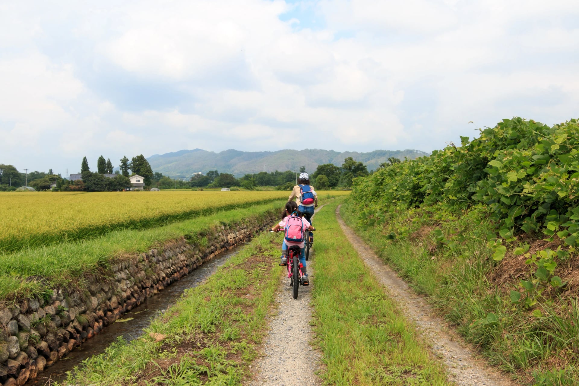
Tell us which of these roads caught your eye and roughly when you could travel. An agent will come back with a route that fits: write to us here.
Rather talk it through first? Pick a time for a free video call.
Questions Riders Ask Before Japan



Plan with a travel expert
Free advice from a team that knows these routes inside out - real people, not a bot

Hassle-Free
We handle itineraries, accommodations, and anything else you prefer not to deal with, so you can enjoy a carefree holiday.

Tried & Tested Adventures
Our cycling routes are hand-picked & tested, to ensure breathtaking landscapes, smooth roads, and maximum safety - giving you the perfect ride every day.

Unbeatable Support
Our customer support is where we show our passion, ensuring your cycling holiday runs smoothly and your well-being is always our top priority.

Book with Confidence
We are a financially protected company, fully bonded and insured, keeping your money safe and allowing you to travel with confidence.