Shikoku Cycling: A Day, a Week or the 1,000 km Loop?
Shikoku cycling by the days you have: a day on the karst or the coast, a week from the Shimanami Kaido, or the whole 974 km signed loop.
Quick links
Don't want to read all this?
We've planned 800+ cycling trips. Send your dates, fitness and group size — we'll map the route and book every night.


Shikoku is the smallest of Japan's four main islands, yet three very different trips go by the name of Shikoku cycling: a few days off the Shimanami Kaido bridges and down the Ehime coast, a loop of the whole island, or the pilgrimage to its 88 temples. The days you have decide which one fits, and so do the roads.
Most of Shikoku is ordinary Japanese road: coast roads with a narrow edge, mountain roads with long tunnels and long gaps between shops. Below, the four lengths sit side by side with their distance and climbing, followed by the places worth a detour, the temples and where riding on your own works.
Shikoku in a Few Facts
Four prefectures share the island: Ehime, Kagawa, Tokushima and Kōchi, the old provinces the pilgrimage still follows.
Mount Ishizuchi is the highest peak in western Japan at 1,982 m, so the interior climbs steeply from the coast.
The Shimanami Kaido is the only rideable bridge route from Honshu; the Seto-Ōhashi and Akashi–Naruto bridges carry no bikes.
Four airports serve the island: Matsuyama, which has a bike-assembly area, Takamatsu, Kōchi and Tokushima.
Kōchi makes up nearly half of the official circuit, along the Pacific side.
Ehime runs more than 400 Cycle Oasis rest stops, where riders can find water, a pump or a toilet.
Shikoku Cycling by the Days You Have
Four lengths, shortest first. The table gives the headline numbers; each length then has its own facts and the trade-off that decides it.
Time you have | Where you ride | Distance and climbing |
One day | The Shikoku Karst loop, or the Iyo-nada coast | 47 km and about 1,300 m, or 32 km, mostly flat |
A week, mostly coast | Onomichi over the Shimanami Kaido to Dōgo Onsen and Ōzu | about 230 km in 5 riding days |
A week of long days | One half of the official circuit | 444 to 530 km in 5 or 6 riding days |
Two weeks or more | The whole circuit, or the 88 temples | 974 km, or about 1,400 km |
One Day: the Karst or the Coast
Distance: 47 km on the karst loop, or about 32 km down the coast to Nagahama
Climbing: about 1,300 m on the karst; the coast is mostly flat
Best for: strong riders with a free day on the karst; anyone staying in Matsuyama on the coast
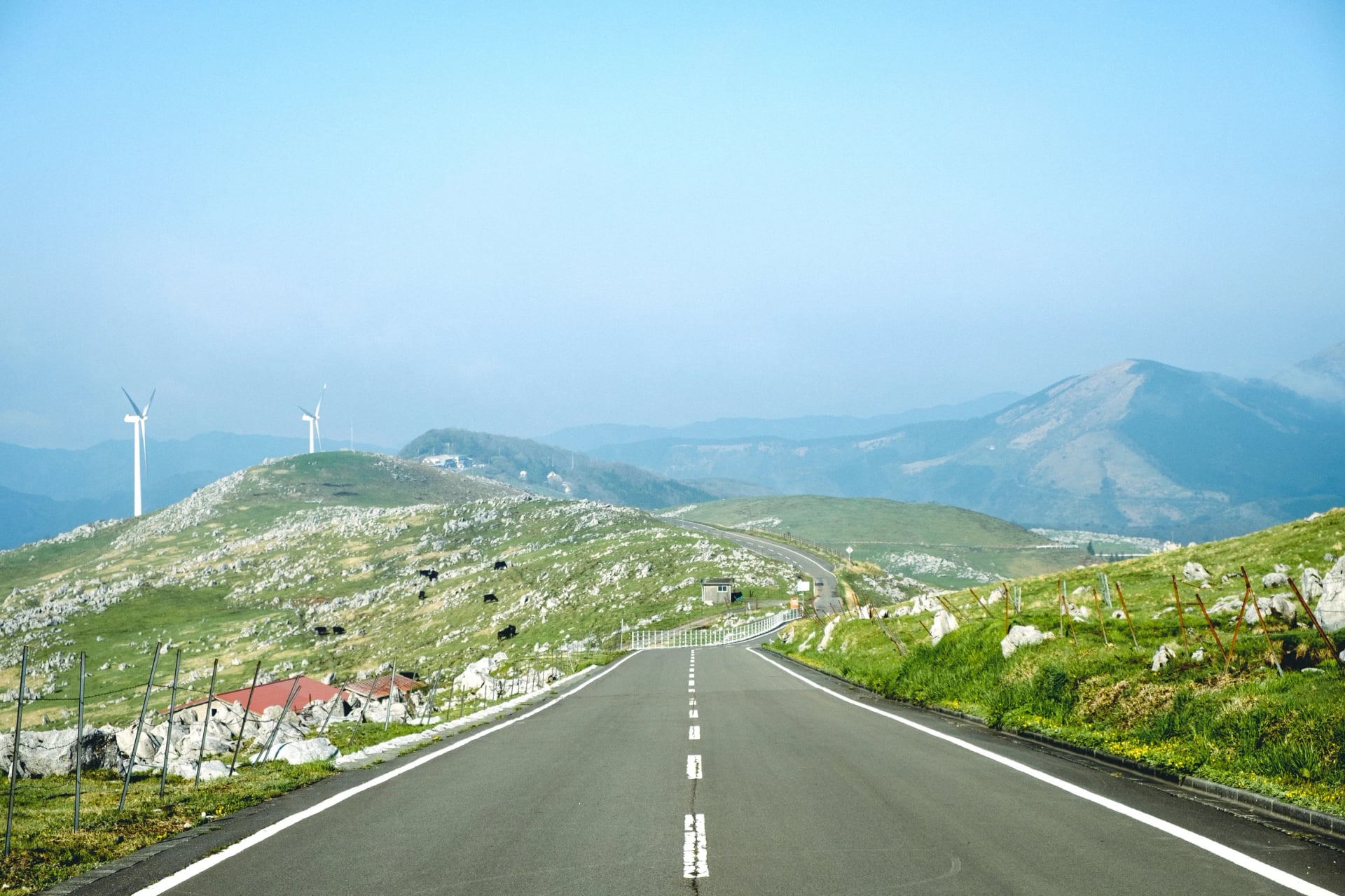
The karst road crosses a limestone plateau at 1,000 to 1,400 m on the Ehime and Kōchi border, between grazing cattle. There is nowhere to buy food for a while after the start, and snow can close the road from about December to March.
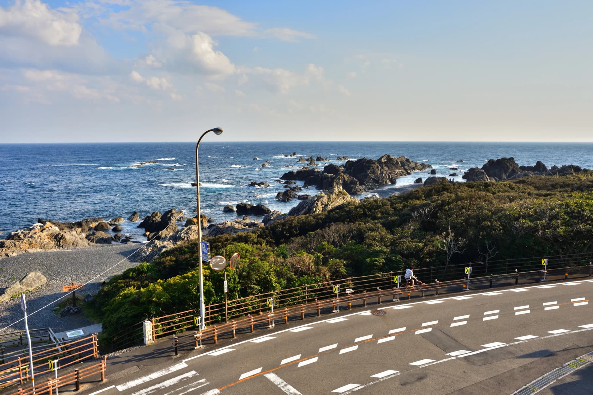
The coast day follows Route 378, the Yūyake Koyake Line, with the Iyo-nada sea on your right. Ehime's signed course puts Shimonada station at km 16 and the red lifting bridge at Nagahama at km 32.
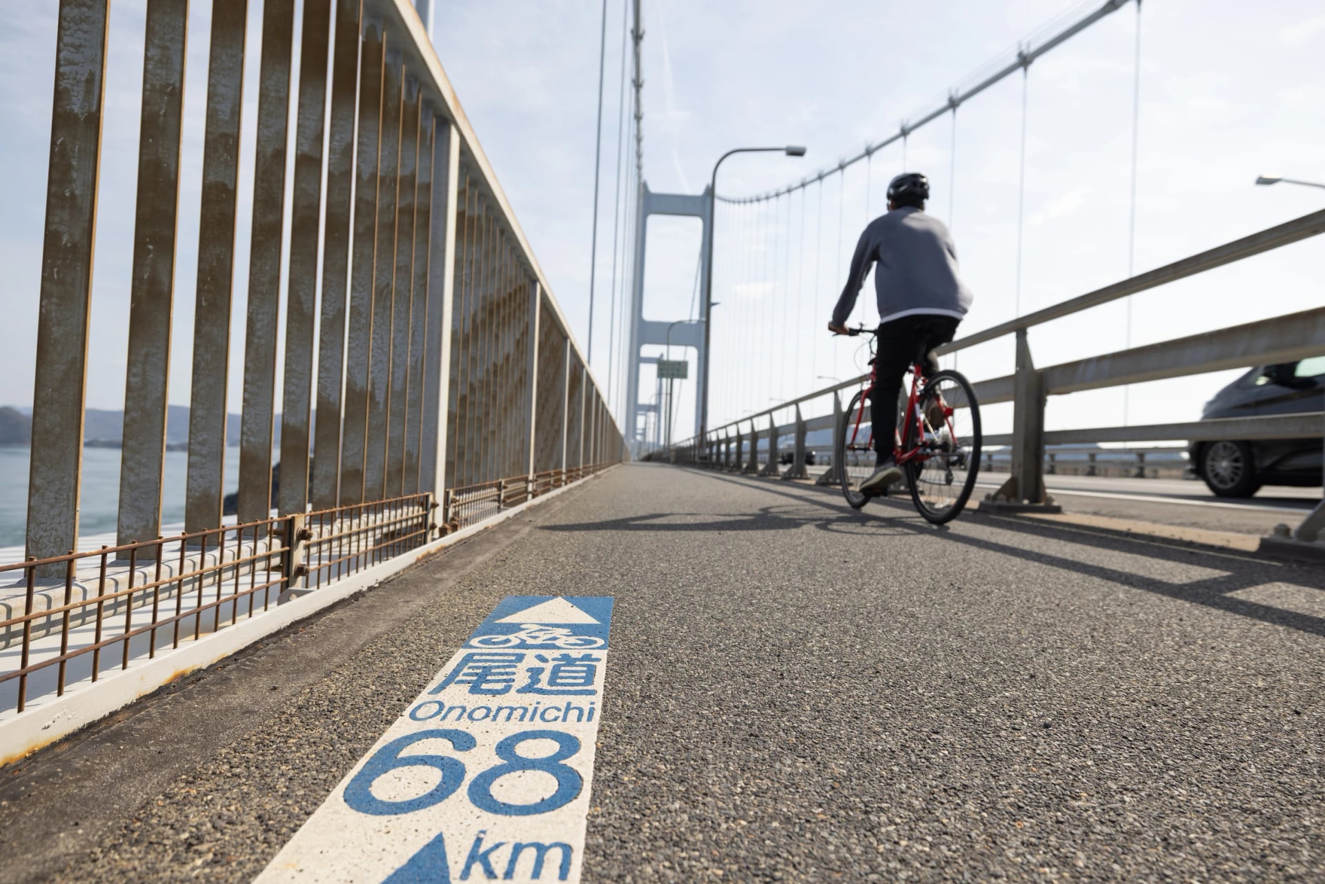
A third one-day ride starts on Honshu: 70 km over six bridges from Onomichi to Imabari, on Shikoku's north shore. Our Shimanami Kaido guide covers it bridge by bridge.
A Week, Mostly Coast: the Shimanami Kaido to Ōzu
Distance: about 230 km in 5 riding days, the longest 64 km
Climbing: about 1,840 m in all
Start and finish: Onomichi on Honshu; Ōzu, about 40 minutes from Matsuyama on the limited express
Best for: a first trip to Shikoku, with time off the bike
The week starts on Japan's best-known cycle route and ends on a quiet coast. You cross the Shimanami Kaido to Imabari, follow the shore to the old baths of Dōgo Onsen in Matsuyama, then turn south on Route 378 and up the Hiji valley to Ōzu, a castle town on the river. Short days leave time for the baths and for the merchant street of Uchiko.
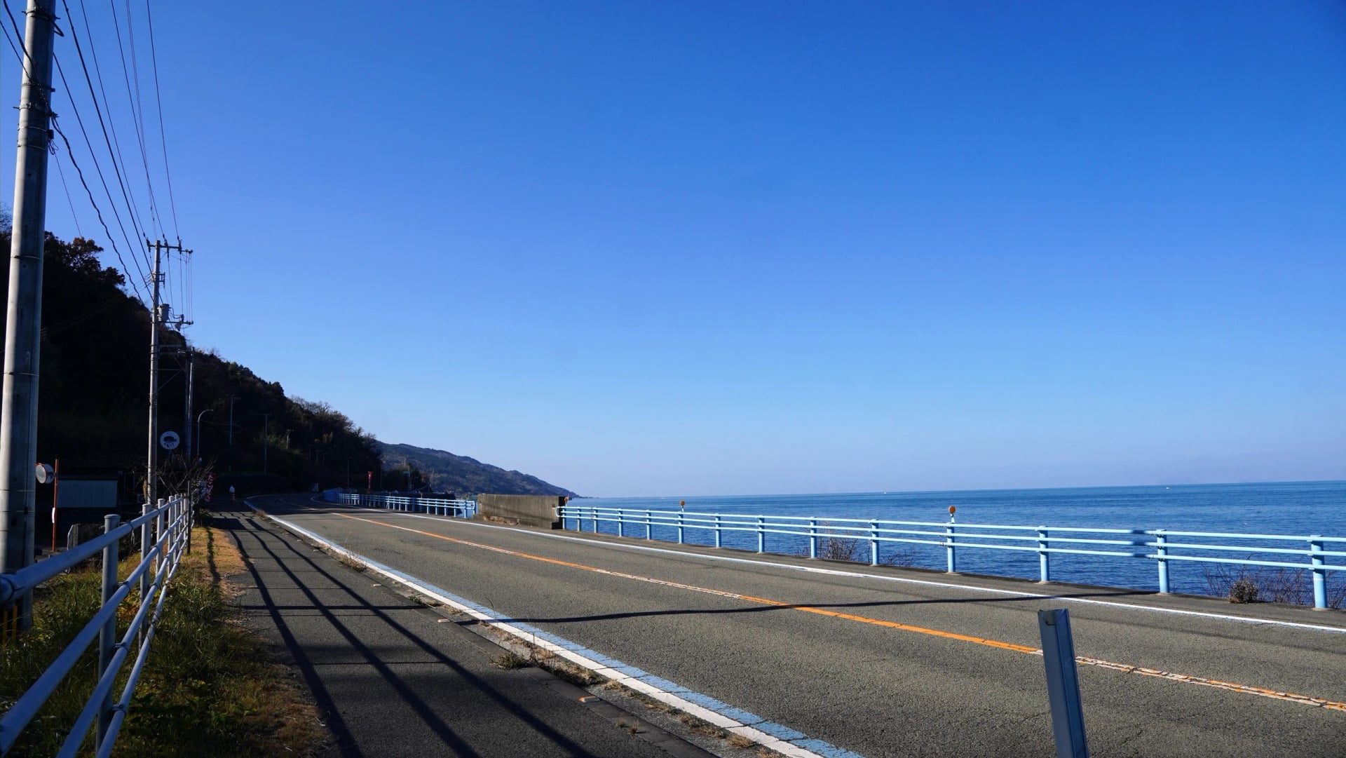
The catch is the last coast stage. Route 378 carries up to 9,425 vehicles in 12 hours by the 2021 national traffic census, and you share 11 to 15 km of it with about a metre of edge.
We arrange this week for you: we send your bag on to every new hotel, collect the bikes in Ōzu and put the route notes on a phone mount on your handlebar. See how the days run:
A Week of Long Days: Half the Circuit
North and east half: 529.9 km in 6 days with 2,648 m of climbing, Matsuyama to Kōchi via Takamatsu, Tokushima and Cape Muroto
South and west half: 444.3 km in 5 days with 4,231 m of climbing, Kōchi to Matsuyama round Cape Ashizuri and Uwajima
Daily distance: 47 to 130 km, with no rest day in the model plan
Best for: riders who want the Pacific capes and can ride about 90 km a day, every day
In the same week you ride about twice the distance of the coast trip, and the south and west half climbs more than twice as much again. The loop's longest day is 130.2 km, from Shishikui round Cape Muroto to Kōchi.
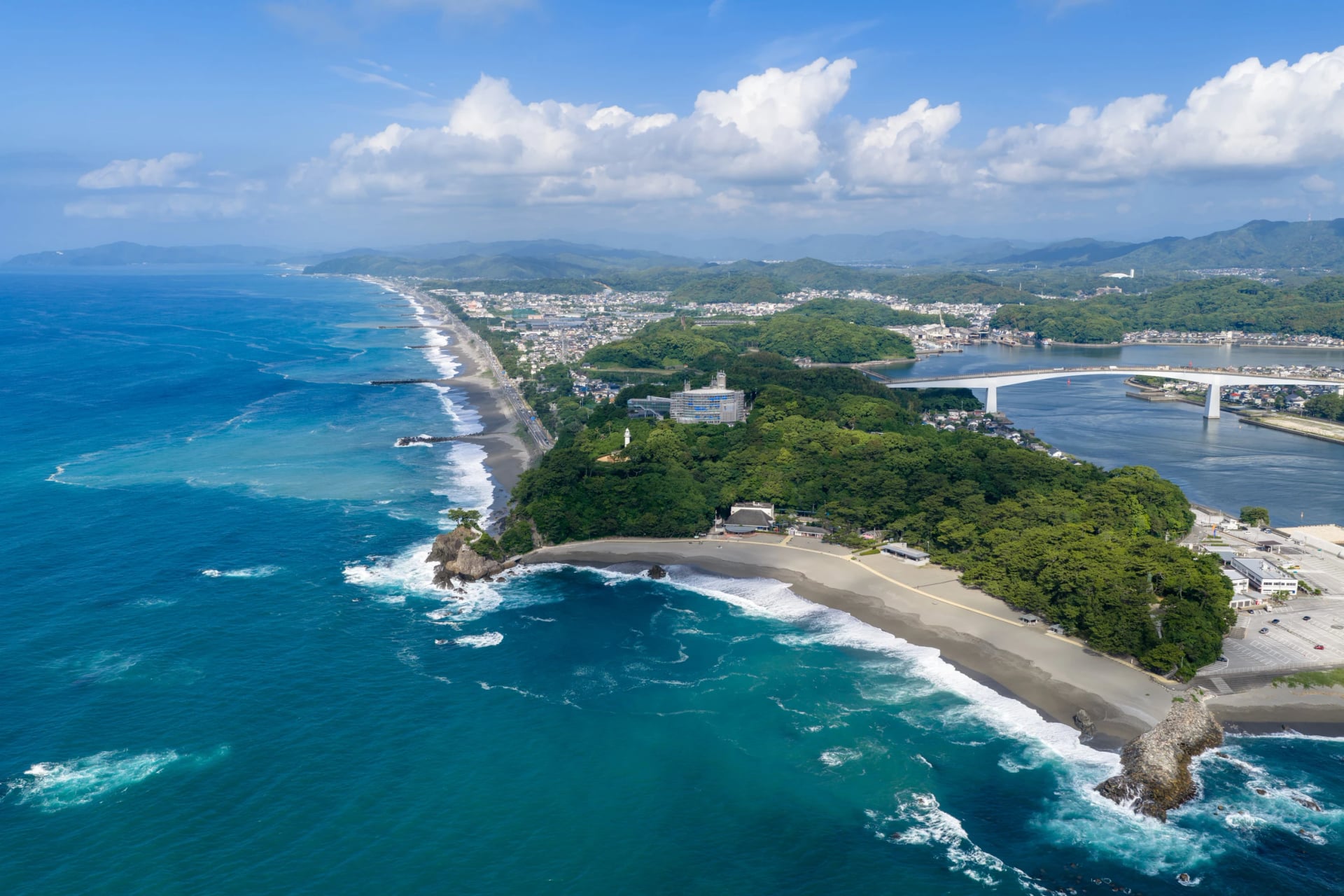
We don't arrange either half. Japan's national tourism board describes the whole loop on its 1,000 km Shikoku Circuit page.
Two Weeks or More: the Whole Loop or the Temples
Whole circuit: 974.2 km and 6,879 m of climbing on the 11-day model route; riders with detours log 1,100 to 1,170 km
The temples: about 1,400 km round the island, with mountain climbs to more than a dozen of them
Direction: clockwise from Matsuyama, which keeps the sea on your left in a country that drives on the left
Best for: riders with time who are at ease in traffic and in tunnels
The full loop needs about two weeks once rest days and weather are counted, and the pilgrimage, with its mountain temples, longer again.
The 1,000 km Loop, Day by Day
The official model route rides the island in eleven days, clockwise from Matsuyama. Add a rest day or two and a day lost to rain, and you have the two weeks above. The line follows the old main roads, which is why the south has so many tunnels; riders who plan their own detours miss most of the long ones.
Open the map before you plan a single day: each stage has its own colour, and a tap on a line shows its distance and climbing.
Days 1 to 3: the Inland Sea Shore
You warm up gently: day 1 is 47.1 km and 214 m of climbing up the coast from Matsuyama to Imabari, the town where the Shimanami Kaido comes ashore, so if you arrive over the bridges you can join the loop here. Day 2 is the first long one, 99.7 km through the industrial towns of Niihama and Shikoku-chūō. The north coast is the busy side of Shikoku: one rider counted close to 300 km of towns, cars and lorries along it. You finish in Kanonji, where a giant coin is drawn in the sand near the Kotohiki roadside station.
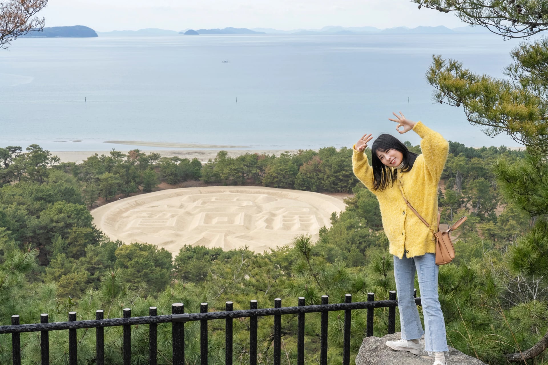
Day 3 is a short 65.2 km to Takamatsu through the country Kūkai grew up in; temple 75, Zentsū-ji, stands beside his family home. Kagawa has about 600 udon shops, and a bowl of kamatama, noodles stirred into raw egg, is the cheapest fuel on the island.
Days 4 to 6: Naruto to Cape Muroto
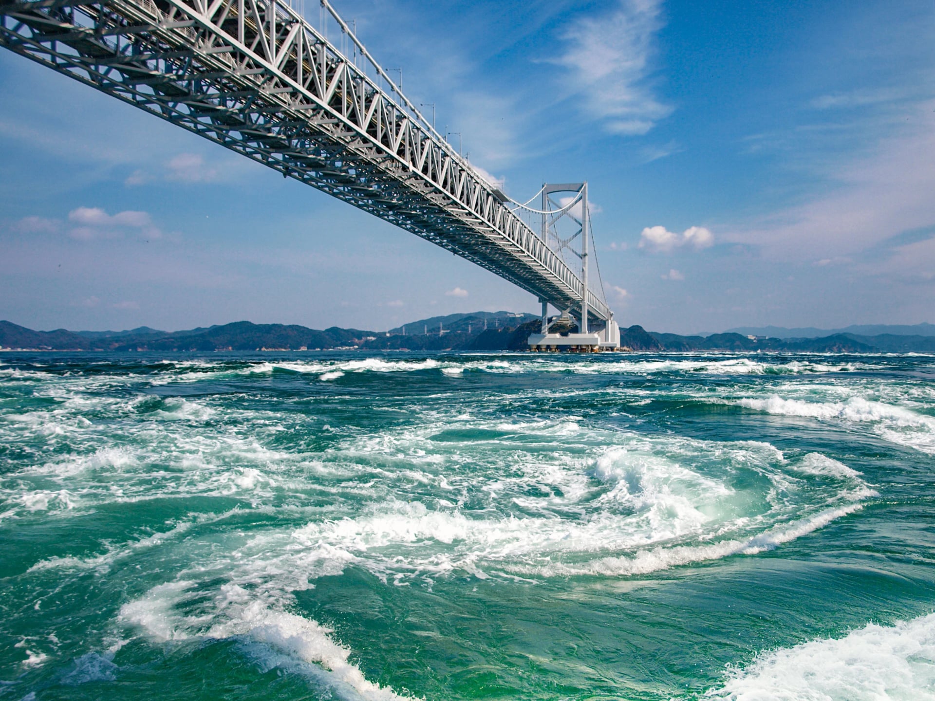
Day 4 rounds the east of Kagawa to Naruto, 96.4 km and 542 m. The two climbs near the Naruto whirlpools give some of the best views of the whole loop, and then the line crosses the Konaruto strait on a small ferry. Check that ferry's times before you set off: one rider who missed it had to ride back to the main road and into Tokushima's traffic.
Day 5 turns south down the Tokushima coast to Shishikui, 91.3 km of forest and fishing villages, past temple 23, Yakuō-ji, above Hiwasa. From Shishikui onwards the traffic falls away, and riders found it light all the way to Uwajima. Day 6 is the longest of the loop: 130.2 km from Shishikui round Cape Muroto to Kōchi, the Pacific on your left all the way to the cape. Near Aki the line joins a seaside cycle path for the run into the city.
Days 7 to 9: the Kōchi Coast and Cape Ashizuri
Kōchi to Tosa-Kure is short for a reason, 58.6 km to a fishing port on day 7. Katsurahama beach comes after 14 km, a farmers' market opens on Wednesdays, Saturdays and Sundays 11 km later, and at Kure the dish is katsuo no tataki, bonito seared over burning straw.
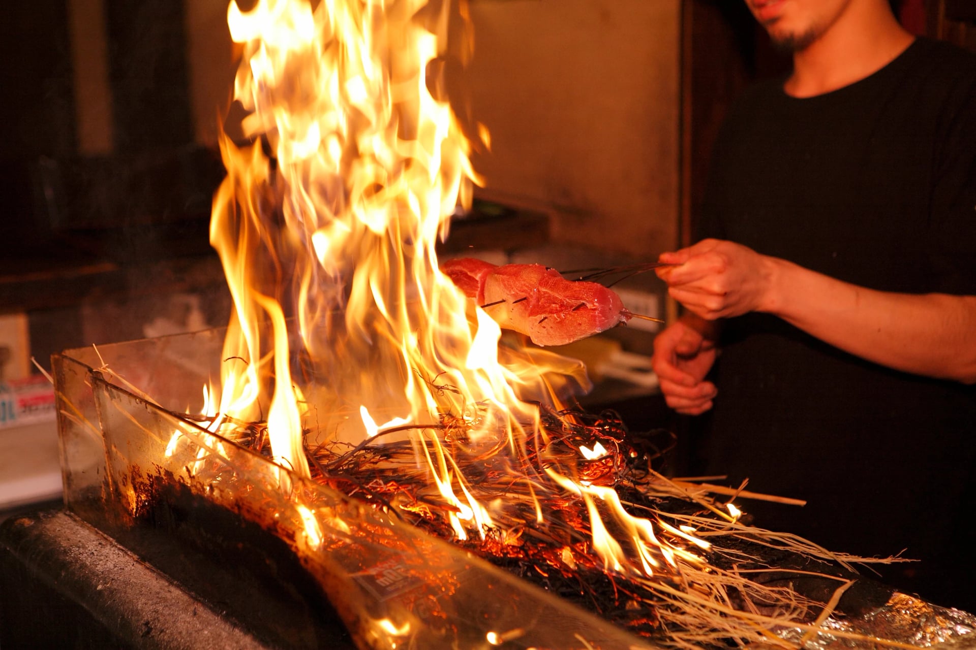
Day 8 climbs 981 m inland over two passes, then follows the Shimanto down to Nakamura over 106.7 km; the river half runs gently downhill. Day 9 climbs the most of all eleven: 1,162 m in 97.6 km round Cape Ashizuri to Ōtsuki. It feels long, especially round the cape.
Days 10 and 11: the Uwa Sea and the Sunset Coast Home
Back in Ehime, day 10 runs 75.8 km with 773 m of climbing by Sukumo and the inlets of the Uwa Sea, with a hot spring at Tsushima as the last stop before Uwajima.
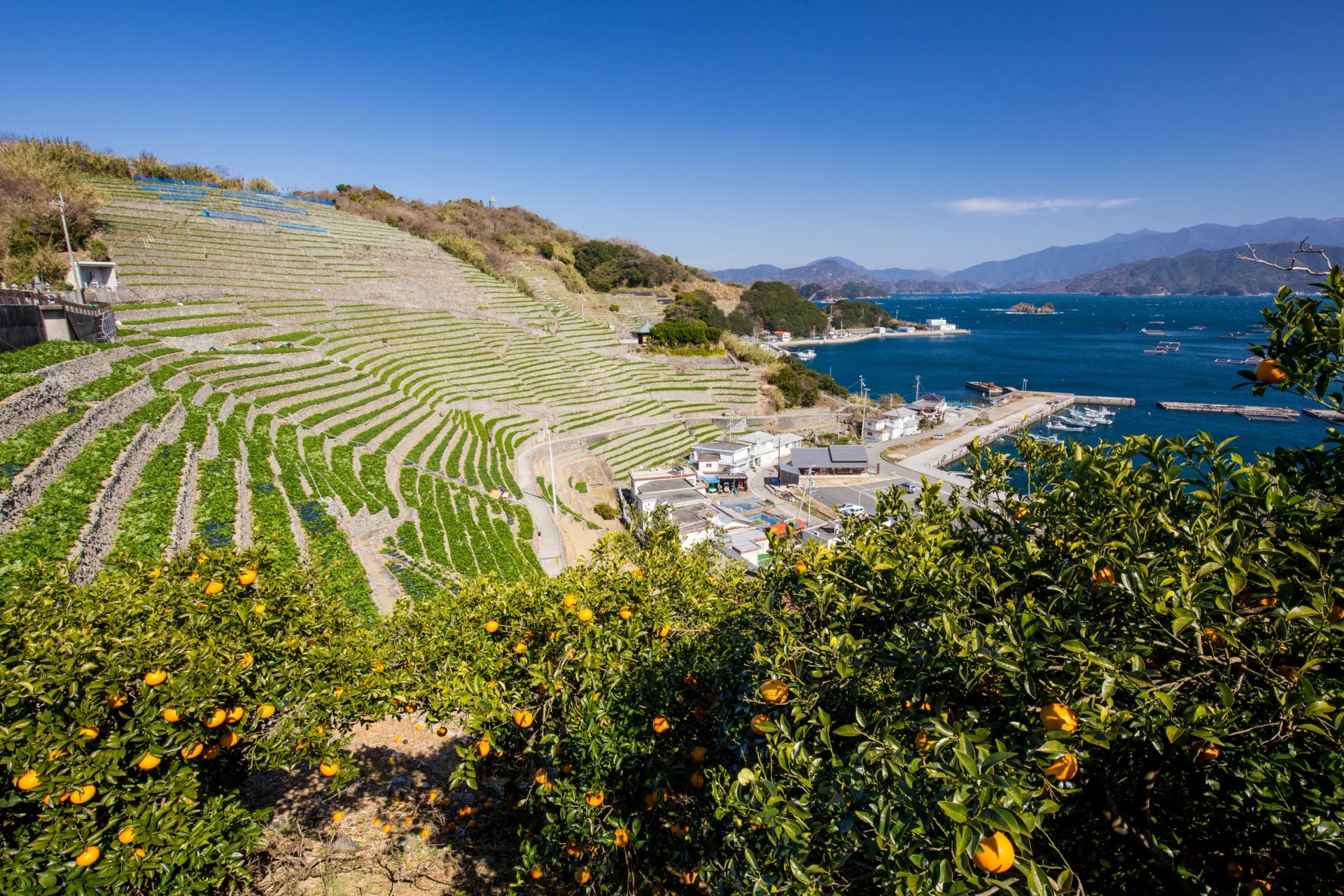
The last day is 105.6 km to Matsuyama by Yawatahama and Ōzu, then down the Hiji river to Nagahama and along Route 378. The loop closes on the sunset coast, the same road as the week on the coast above, so the final hour may already be familiar.
Places to See While Riding Shikoku
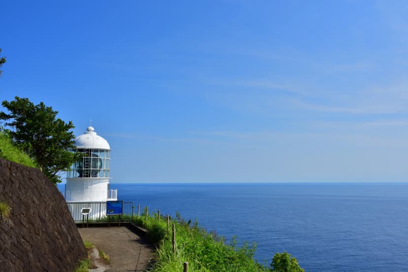
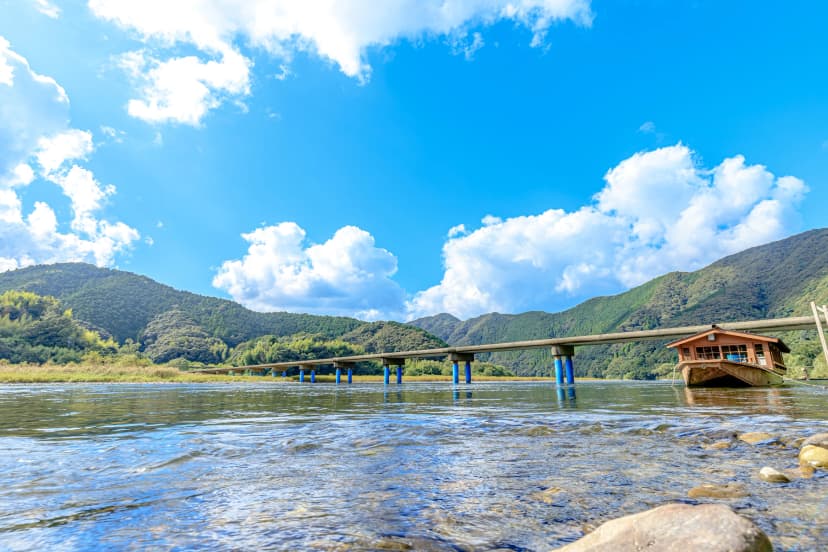
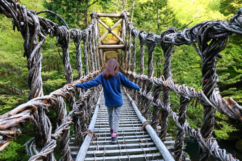
Shikoku keeps its best sights at the edges and deep in its valleys: two capes on the Pacific, a river of sinking bridges and a gorge crossed on vines.
The 88 Temples on a Bike
The henro is Shikoku's Buddhist pilgrimage. It follows the monk Kūkai, known after his death as Kōbō Daishi (774–835), who was born in Sanuki, today's Kagawa, and trained at the temples now counted as the 88. The route starts at temple 1, Ryōzen-ji in Tokushima, and ends at temple 88, Ōkubo-ji in Kagawa.
Each prefecture is a stage of the path: awakening in Tokushima, discipline in Kōchi, enlightenment in Ehime and nirvana in Kagawa. The monk Yūben Shinnen numbered the temples and wrote the first pilgrim's guidebook in 1687. The paths between temples began as farm and forest roads, stone markers still point the way, and locals still give pilgrims osettai, small gifts of fruit or tea. The Agency for Cultural Affairs named the pilgrimage Japan Heritage in 2015, and the Shikoku Henro World Heritage council describes all 88 temples and their history.
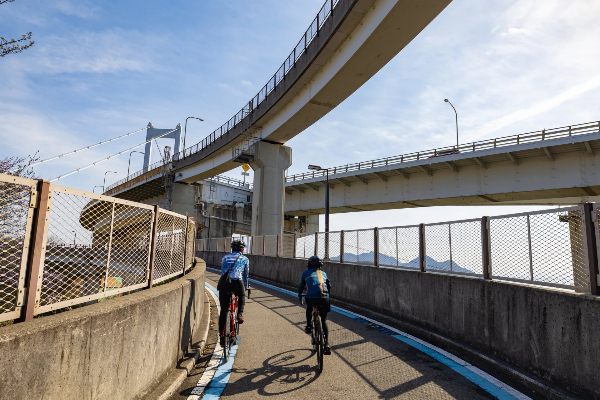
Six of the 88 stand in Imabari, the city where the Shimanami Kaido lands. The henro draws about 150,000 people a year, most of them by bus or car, and the riders who wrote it up for Conservation Magazine met no other pilgrims on bikes. Unpen-ji, temple 66, is the highest at 911 m, with a ropeway from the Kagawa side, and the longest gap between temples is 82 km, from temple 37 to temple 38 on Cape Ashizuri.
At each temple pilgrims bow at the gate, wash their hands and ring the bell. The stamp book, or nōkyōchō, is signed at every temple office for a small fee, and a few temples take overnight guests in shukubō, temple lodgings. We don't arrange the pilgrimage itself.
Where Riding on Your Own Works
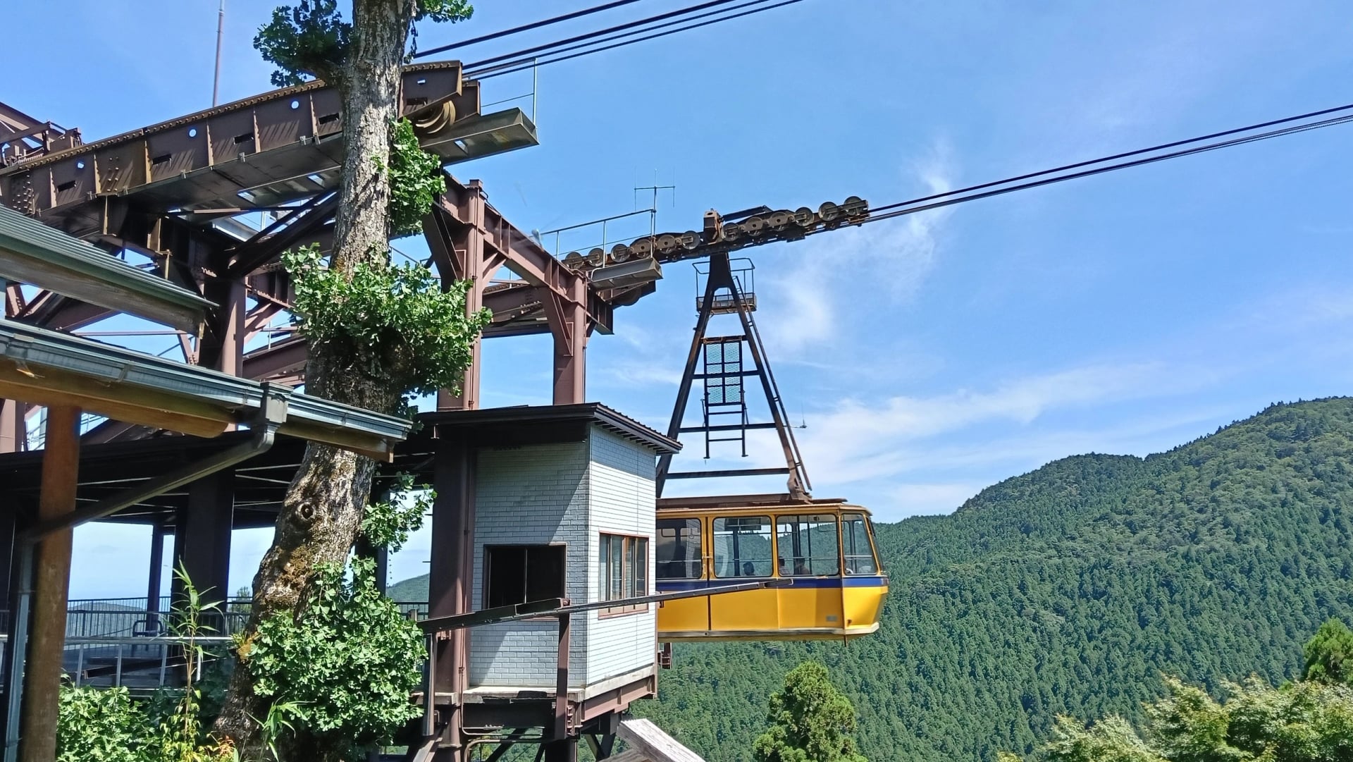
In October 2026 both Onomichi bike firms we asked preferred a guide for riders in Shikoku, for its tunnels, traffic, water gaps and easily missed mountain turns. Here is where each of those bites.
On the Coast
Self-guided riding works on the coast. The shores are flat or rolling, a station is never far, and the official loop names 22 roadside stations as rest stops. Our Ehime line passes no road tunnel, only short underpasses, and its longest water gap is 14 km, Futami to Nagahama. The trade-off is traffic: one rider counted nearly 300 km of towns and lorries along the north coast.
In the Mountains
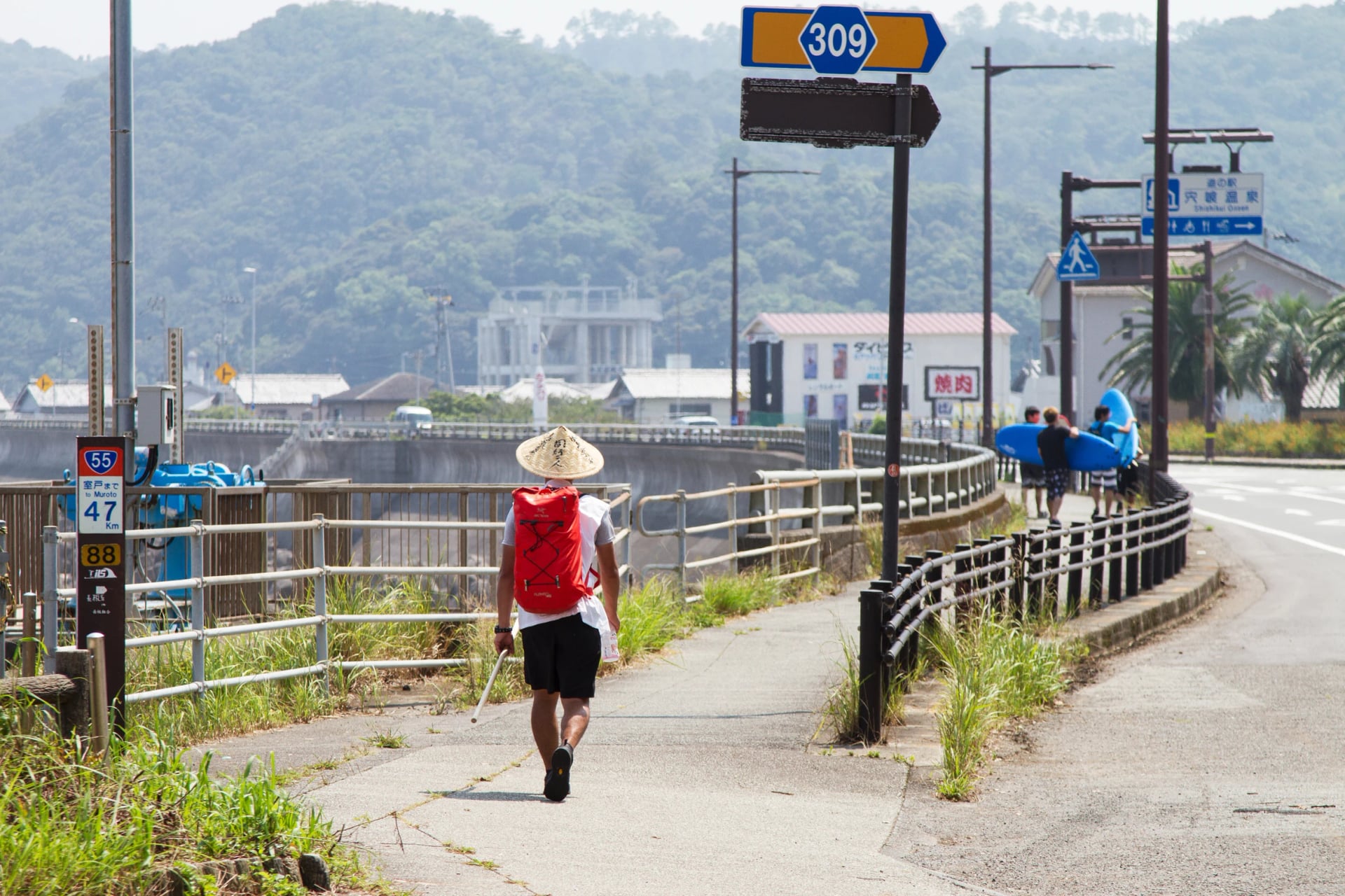
Inland the tunnels begin. Riders on the loop have counted 16 tunnels in a day, some over 2 km, and Ehime's course maps for the Uchiko hills warn of tunnel after tunnel. Shops thin out, and a breakdown far from town means a phone call in Japanese. A rental e-bike can't take the train: it is too big for JR's bag rules.
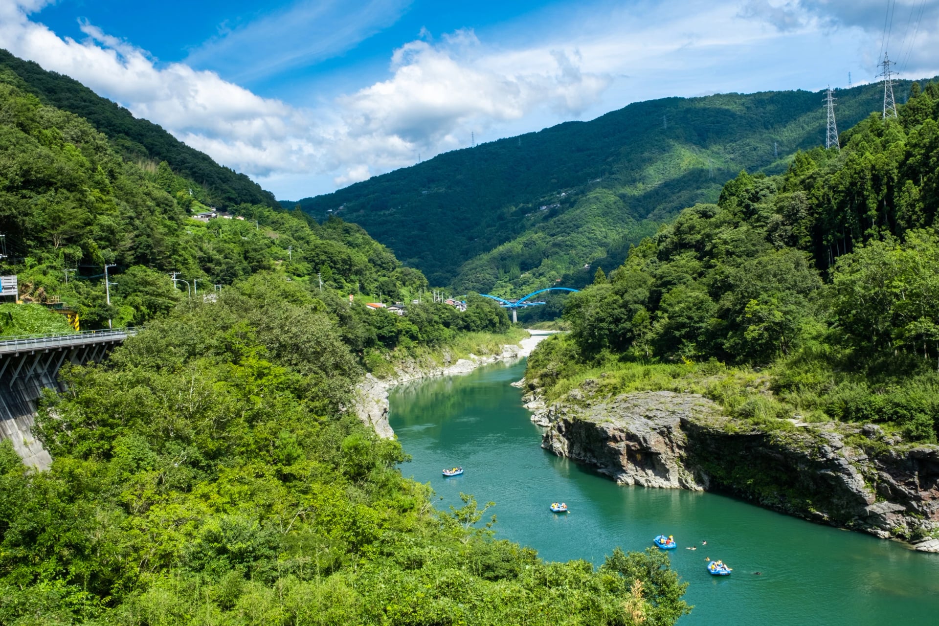
So ride the mountains with a guide, or on your own bike with a train bag, and keep self-guided days to the coast.
Still Weighing Days Against Kilometres?
Tell us your days and how much climbing you enjoy, and an agent will say which part of Shikoku fits and what we can arrange. Write to us through the inquiry form.
Would you rather talk it through? Book a call at a time that suits you.
Frequently Asked Questions

Plan with a travel expert
Free advice from a team that knows these routes inside out - real people, not a bot

Hassle-Free
We handle itineraries, accommodations, and anything else you prefer not to deal with, so you can enjoy a carefree holiday.

Tried & Tested Adventures
Our cycling routes are hand-picked & tested, to ensure breathtaking landscapes, smooth roads, and maximum safety - giving you the perfect ride every day.

Unbeatable Support
Our customer support is where we show our passion, ensuring your cycling holiday runs smoothly and your well-being is always our top priority.

Book with Confidence
We are a financially protected company, fully bonded and insured, keeping your money safe and allowing you to travel with confidence.